How to get accurate site information using technology
Barring the project-specific nuances, most of the construction projects fail as a result of incomplete site information, inadequate interdisciplinary coordination, poor project management and execution and lack of innovation. The design prepared based on inadequate site information needs to be altered several times while the execution is going on due to unexpected ground conditions such as different site levels, unknown utilities along the roadside, extended foundation of a nearby building, to name a few. Preparing an alternate design takes substantial time which derails the project schedule and results in immeasurable loss of money due to stranded manpower and machinery.
Such issues can be overcome by deploying advanced technologies to collect reliable site information.
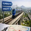
Shaoxing in 3D
Shaoxing, an ancient city in China, proposed a challenging project connecting the cities of Hangzhou and Shaoxing through a Railway system. The proposed railway line passes through the city’s old town, featuring narrow roads, river courses, bridges, existing railway lines and historically protected zones. The design needs to interface with all these structures which are owned by different government organisations in both cities.
Consolidating this information at one place was a mammoth task for Huadong Engineering Corporation Limited (HDEC), the contractor.
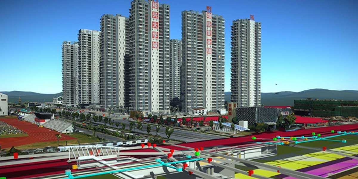
HDEC adopted digital twins approach and created a 3D reality mesh of the region by leveraging the aerial photography within ContextCapture. This technology converts photos captured through drones or other mobile devices into high-quality reality meshes and point clouds of different size
Contracting Model: Build, Operate, Maintain and scale. The digital mesh reflects the topography, existing structures such as buildings, road network and open spaces. Along with it, Bentley OpenRoads was used for 3D modelling of subsurface utility engineering based on the information gathered from the government organisations from both cities. This is used in combination with GeoStation (local 3D geology software) to create an integrated 3D BIM model of proposed rail route alongside the existing railway route.
Together, these software packages enabled them to gain a comprehensive insight into existing conditions of the area, required for design and construction of new infrastructure in the region. This reduced the probability of any surprises during execution and paved the path for smooth execution of the project.
The use of technology, on one hand, provided accurate information which was otherwise not possible and, on the other hand, saved 800 working hours of site data collection time. The comprehensive 3D BIM model provided greater visibility to the stakeholders which helped in better decision making. This, along with digital workflows, shortened the entire design production cycle by 20%.
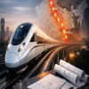
Drones on the Chenab
Chenab bridge, one of the most challenging projects embarked by Indian Railways, is using similar technologies for gathering site data. Chenab bridge is located in Jammu and Kashmir, which is a part of Udhampur-Srinagar-Baramulla Rail link project. The bridge is placed in an area with no accessibility by road/train and the terrains have hugely varying steep slopes between 45 and 77 degrees. These extreme conditions made the collection of accurate topography information a big task for the project team.The team used drones (unmanned aerial vehicles, or UAVs) to take photographs which were converted into a 3D reality mesh and Point clouds model to produce accurate site topography using Bentley ContextCapture. This enabled the team to come up with the most feasible design option and remove all ambiguities during construction. Using drones and reality modelling to survey the project site, Indian Railways saved 225 resource days equivalent to saving $40,000.

The project is currently in the execution phase and the project team is using the 3D reality mesh to even check the project progress for quarterly and monthly review meetings. The 3D reality mesh generated by the drones has to be compared with the designed 3D model to check the percentage completion with respect to what was planned.

The 3D reality model provides a high-resolution image of the ongoing work and project engineers are using it to identify quality related defects on the concrete surfaces. Enabling the power of 3D reality mesh, the project engineer can perform quality and constructability checks remotely, which is a huge saving of time, money and effort. In short, the 3D reality mesh is providing a quantitative as well as a qualitative review of the project progress. Reality model has reduced the efforts required for quality checks by 80%.
These examples showcase how technology like 3D reality mesh has been implemented for gathering accurate site information and used for quality control and site monitoring. This brings us to a very conclusive insight that tools like 3D reality mesh can have several applications in the construction industry and its true potential depends on the ability of the project team to take maximum advantage of the available tools.
The author is an engineering head for large projects and a construction law expert.
AI Data Centre Leaders Map India’s Infrastructure Roadmap
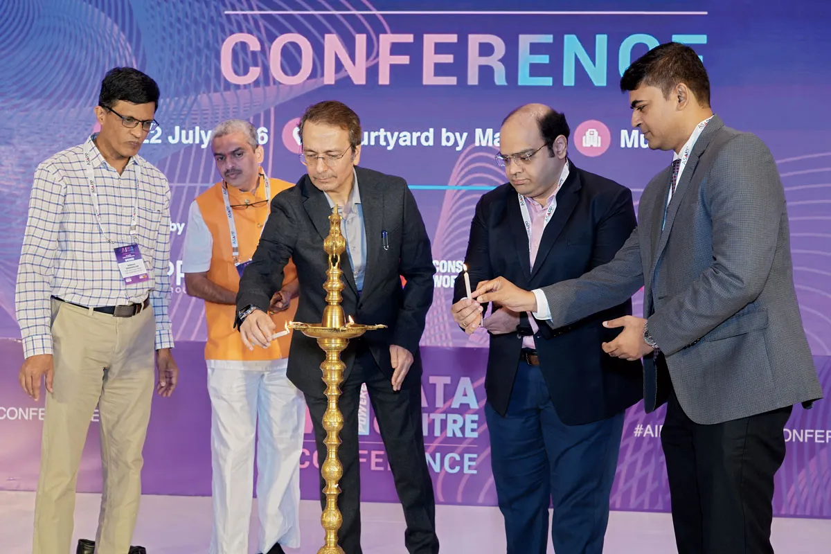
Mumbai, 22 July 2026: As artificial intelligence reshapes global digital infrastructure, industry leaders gathered in Mumbai today at the AI-Powered Data Centre Conference 2026 to discuss how India can build the capacity, technology and ecosystem required to emerge as a global AI infrastructure hub. Organised by ASAPP Info Global Group and conceptualised by FIRST Construction Council, the conference revolved around the theme, “From Capacity Gap to AI Superpower: Building India's Digital Backbone for the Intelligence Economy.” Bringing together developers, technology providers, enterpr..

SCLR Extension Nears Completion Linking BKC With Signal-Free Route
The Santacruz-Chembur Link Road (SCLR) extension towards Bandra-Kurla Complex (BKC) via the Mumbai University campus has entered its final stage, bringing motorists closer to a direct, signal-free connection between the Western Express Highway and the city’s commercial district. The elevated connector is being built as an arm from the SCLR alignment and will link the western suburbs with BKC without surface signals. The link is designed to reduce journey times for commuters travelling from the western suburbs to BKC and to improve access to eastern Mumbai. By carrying through traffic above s..

Raiganj MP Seeks Bengal Only Highway Link To Siliguri
Raiganj Member of Parliament Kartik Chandra Paul met Union Minister for Road Transport and Highways Nitin Gadkari in New Delhi to press for a new stretch of national highway in North Dinajpur district. He urged approval for a Bengal-to-Bengal link that would connect National Highways 12 and 27 to allow vehicles bound for Siliguri to avoid the current route through Kishanganj in neighbouring Bihar. He also submitted a proposed alignment of the new road to the ministry for consideration. At present vehicles from Raiganj travel along NH-12 and join NH-27 at Purnia More in Dalkhola, a route that p..
Latest Updates