Think of the digital twin as an angiogram of the city
Technology

Think of the digital twin as an angiogram of the city

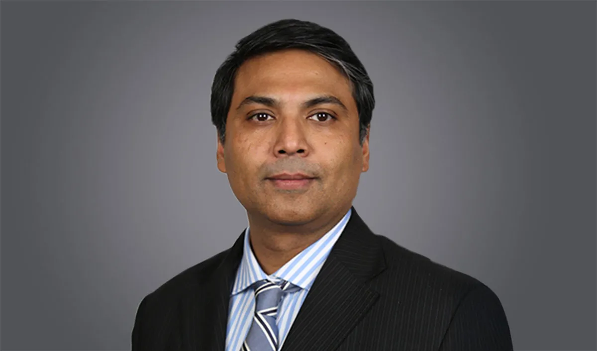
Genesys secured a record-breaking contract for Mumbai's Digital Twin Initiative worth Rs 1.55 billion with Brihanmumbai Municipal Corporation (BMC). Under the agreement, the company will provide the implementation and upkeep of a 3D city model and map stack for Mumbai and update it for three years. The geospatial solution will redefine urban planning, infrastructure development and emergency response and foster enhanced quality of life for residents. The unified mapping platform incorporates layers such as the 3D reality mesh model, base map with advanced features and street imaging, digital surface model (DSM) and digital terrain model (DTM) along with a change detection map to empower municipal departments, government agencies and citizens to make informed decisions that contribute to the city's growth. Holding promise beyond traditional mapping, it is aligned with the city's vision of becoming a smart city. Sajid Malik, CMD, Genesys International Corporation, shares more about the challenges, potential and prospects of Mumbai's Digital Twin Initiative and the requisite technology in conversation with R SRINIVASAN. Excerpts:  

What difficulties are involved in the creation of a 3D model of the city’s infrastructure in all 24 wards?

Bombay is one of the most complex cities as it has all kinds of terrain. It is very dense. There are old parts of the city, shanty towns, a huge slum, probably one of the tallest high rises you can find in any city and one of the busiest airports in the country. 

To read the full story, CLICK HERE.

Genesys secured a record-breaking contract for Mumbai's Digital Twin Initiative worth Rs 1.55 billion with Brihanmumbai Municipal Corporation (BMC). Under the agreement, the company will provide the implementation and upkeep of a 3D city model and map stack for Mumbai and update it for three years. The geospatial solution will redefine urban planning, infrastructure development and emergency response and foster enhanced quality of life for residents. The unified mapping platform incorporates layers such as the 3D reality mesh model, base map with advanced features and street imaging, digital surface model (DSM) and digital terrain model (DTM) along with a change detection map to empower municipal departments, government agencies and citizens to make informed decisions that contribute to the city's growth. Holding promise beyond traditional mapping, it is aligned with the city's vision of becoming a smart city. Sajid Malik, CMD, Genesys International Corporation, shares more about the challenges, potential and prospects of Mumbai's Digital Twin Initiative and the requisite technology in conversation with R SRINIVASAN. Excerpts:  What difficulties are involved in the creation of a 3D model of the city’s infrastructure in all 24 wards?Bombay is one of the most complex cities as it has all kinds of terrain. It is very dense. There are old parts of the city, shanty towns, a huge slum, probably one of the tallest high rises you can find in any city and one of the busiest airports in the country. To read the full story, CLICK HERE.

Next Story
Technology

Building Faster, Smarter, and Greener!

Backed by ULCCS’s century-old legacy, U-Sphere combines technology, modular design and sustainable practices to deliver faster and more efficient projects. In an interaction with CW, Rohit Prabhakar, Director - Business Development, shares how the company’s integrated model of ‘Speed-Build’, ‘Smart-Build’ and ‘Sustain-Build’ is redefining construction efficiency, quality and environmental responsibility in India.U-Sphere positions itself at the intersection of speed, sustainability and smart design. How does this translate into measurable efficiency on the ground?At U..

Next Story
Infrastructure Transport

Smart Roads, Smarter India

India’s infrastructure boom is not only about laying more kilometres of highways – it’s about building them smarter, safer and more sustainably. From drones mapping fragile Himalayan slopes to 3D machine-controlled graders reducing human error, technology is steadily reshaping the way projects are planned and executed. Yet, the journey towards digitisation remains complex, demanding not just capital but also coordination, training and vision.Until recently, engineers largely depended on Survey of India toposheets and traditional survey methods like total stations or DGPS to prepare detai..

Next Story
Infrastructure Urban

Delay Analysis in Construction Arbitration

In construction disputes, ‘delay analysis’ is essential for establishing the cause of delay, which in turn determines whether the contractor is entitled to an extension of time and associated costs or whether the employer is justified in imposing liquidated damages. This article enunciates various methods employed in the analysis of construction delays. It provides a detailed overview of the techniques used to identify, quantify and apportion delays among project stakeholders that are critical for the resolution of disputes pertaining to extension of time (EOT) and substantiation of EOT cl..

Advertisement

Subscribe to Our Newsletter

Get daily newsletters around different themes from Construction world.

STAY CONNECTED

Advertisement

Advertisement

Advertisement

Talk to us?