GNSS vs FASTag: New Toll Collection System Piloted on Key Routes
ECONOMY & POLICY

GNSS vs FASTag: New Toll Collection System Piloted on Key Routes

India is testing a new toll collection system using Global Navigation Satellite System (GNSS) technology on key routes, offering a potential upgrade from the existing FASTag method. The pilot program aims to enhance efficiency and accuracy in toll collection, addressing some of the limitations observed with the FASTag system.

The GNSS-based system operates by tracking vehicles via satellite, allowing for automatic toll charges based on real-time location data. This technology promises several advantages over FASTag, including the elimination of the need for physical toll booths and greater accuracy in toll calculations. By reducing the reliance on physical infrastructure, the GNSS system aims to streamline toll collection and minimise traffic congestion at toll plazas.

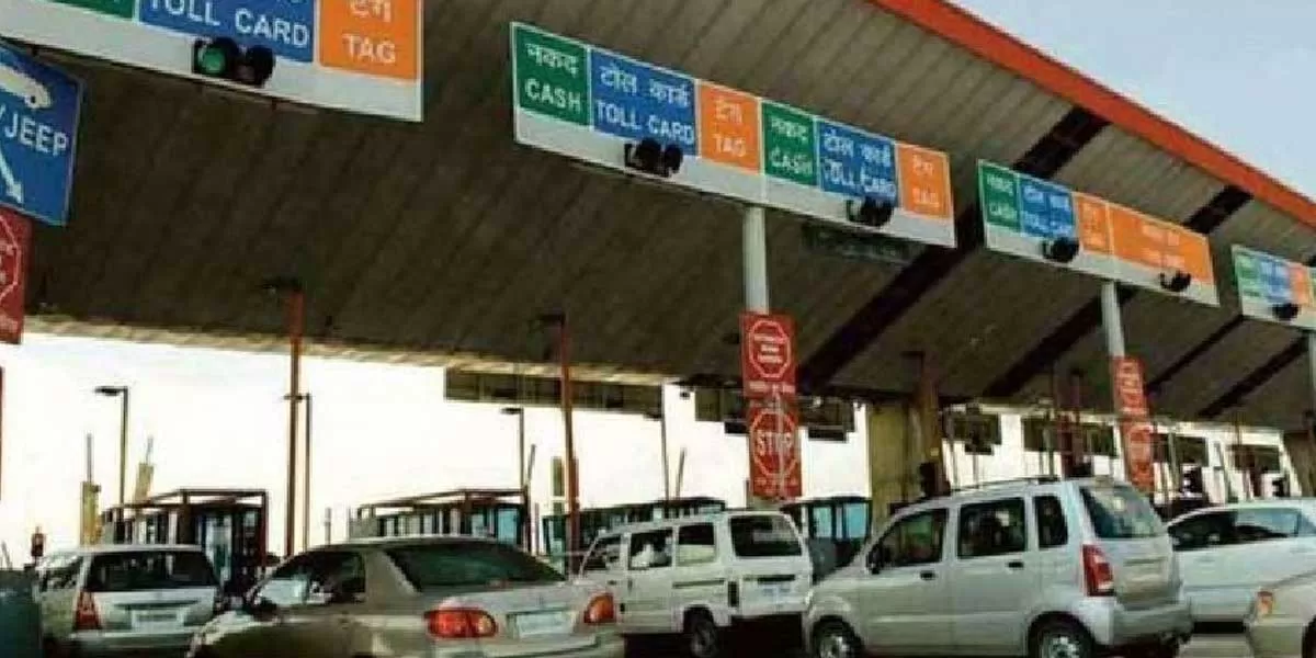
FASTag, which relies on RFID technology for toll collection, has been widely implemented across India but has faced issues such as signal interference and tag malfunctions. The introduction of GNSS technology is intended to address these problems by offering a more robust and reliable solution.

The pilot program is being conducted on selected highways to assess the system's performance and gather data on its effectiveness. Initial reports suggest that GNSS technology could lead to improved toll collection efficiency and reduced travel times.

If successful, this new system could eventually replace or complement FASTag, contributing to a more modern and efficient toll collection infrastructure across the country.

India is testing a new toll collection system using Global Navigation Satellite System (GNSS) technology on key routes, offering a potential upgrade from the existing FASTag method. The pilot program aims to enhance efficiency and accuracy in toll collection, addressing some of the limitations observed with the FASTag system. The GNSS-based system operates by tracking vehicles via satellite, allowing for automatic toll charges based on real-time location data. This technology promises several advantages over FASTag, including the elimination of the need for physical toll booths and greater accuracy in toll calculations. By reducing the reliance on physical infrastructure, the GNSS system aims to streamline toll collection and minimise traffic congestion at toll plazas. FASTag, which relies on RFID technology for toll collection, has been widely implemented across India but has faced issues such as signal interference and tag malfunctions. The introduction of GNSS technology is intended to address these problems by offering a more robust and reliable solution. The pilot program is being conducted on selected highways to assess the system's performance and gather data on its effectiveness. Initial reports suggest that GNSS technology could lead to improved toll collection efficiency and reduced travel times. If successful, this new system could eventually replace or complement FASTag, contributing to a more modern and efficient toll collection infrastructure across the country.

Next Story
Infrastructure Urban

ABS Marine Sees CRISIL Credit Rating Upgrade

ABS Marine Services has secured an upgrade to its long term and short term credit ratings from CRISIL, reflecting improved profitability and revenue growth through long term contracts. CRISIL moved the long term rating from BBB+/Stable to A-/Stable and revised the short term rating from A2 to A2+. The action signals strengthened financial metrics and operational resilience. The company benefited from durable client relationships with firms such as ONGC and Schlumberger. The rating decision followed stronger cash flows and an enlarged bank loan facility, which increased from Rs 3,705 million (m..

Next Story
Infrastructure Transport

Project BRAHMANK Marks 16 Years Of Strategic Roads In Arunachal

Project BRAHMANK is marking 16 years of work to establish strategic road and bridge links across Arunachal Pradesh, maintaining and developing 811 kilometres of roads and nearly 86 bridges that range from small culverts to large steel and arch bridges. These transport links are described as critical for ensuring year-round movement of defence personnel, equipment and essential supplies while improving everyday travel for people in remote villages. The project balances national security requirements with regional development by focusing on reliable access in challenging terrain. Notable enginee..

Next Story
Infrastructure Transport

Longleng CSOs Give One Week Ultimatum Over Two-Lane Highway

Civil society organisations (CSOs) in Longleng district have demanded immediate restoration of the deteriorating Changtongya–Longleng two-lane road and sought a detailed status report on the stalled construction within one week. The demand followed a consultative meeting convened under the Phom Peoples' Council (PPC) to discuss welfare and development concerns. PPC president YB Angam Phom said prolonged non-maintenance had caused hardship to commuters and affected transportation, local commerce and the district's development. The meeting urged authorities to undertake immediate restoration a..

Advertisement

Subscribe to Our Newsletter

Get daily newsletters around different themes from Construction world.

STAY CONNECTED

Advertisement

Advertisement

Advertisement