GSUDA launches comprehensive GIS mapping project in South Goa

Digital engineering resolves issues before money is deployed onsite
Construction is moving from drawings and delays to data-led delivery. Varunkumar Sagarkar, Director, shares how Desapex is helping developers and contractors make BIM, ISO 19650 and digital twins work on real projects.How is Desapex helping construction companies move from traditional project delivery to digital-first execution?When we started, the first challenge was capacity. We saw strong adoption of digital technology in markets such as the Middle East, Europe and the US, but India lacked the depth of resources required to deliver those services at scale. Over time, we also saw many failed..
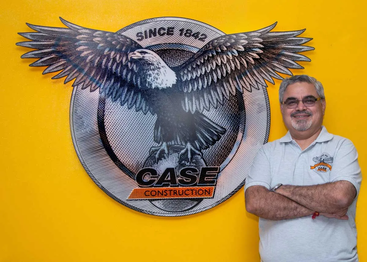
CASE India appoints Sachin Tare to lead manufacturing
CASE Construction Equipment, a brand of CNH, has appointed Sachin Tare as Director – Manufacturing to lead manufacturing operations at its Pithampur facility near Indore, Madhya Pradesh. In his new role, Tare will focus on improving operational efficiency, quality and productivity while supporting the company’s growth in India and global markets.Tare brings over three decades of experience across manufacturing, supply chain, operations and business transformation in the engineering and automotive sectors. He spent nearly 30 years with Mahindra & Mahindra, where he held leadership posit..

Bondada Enters Defence Sector with KCS Engineering Acquisition
Bondada Engineering Limited, a renewable energy and infrastructure solutions company, has announced its entry into the defence and aerospace sector through its subsidiary Bondada Dynamics Private Limited (BDPL), which has entered into a Business Acquisition Agreement to acquire a 75% ownership stake in KCS Engineering Solutions.As part of the strategic expansion plan, KCS Engineering Solutions will be converted into a private limited company, proposed to be named BKCS Technologies Private Limited, with the “B” representing Bondada. Following the conversion, BKCS Technologies will operate a..
Latest Updates