Delhi Plan Warns Expressways Disrupt City’s Natural Water Flow
ROADS & HIGHWAYS

Delhi Plan Warns Expressways Disrupt City’s Natural Water Flow
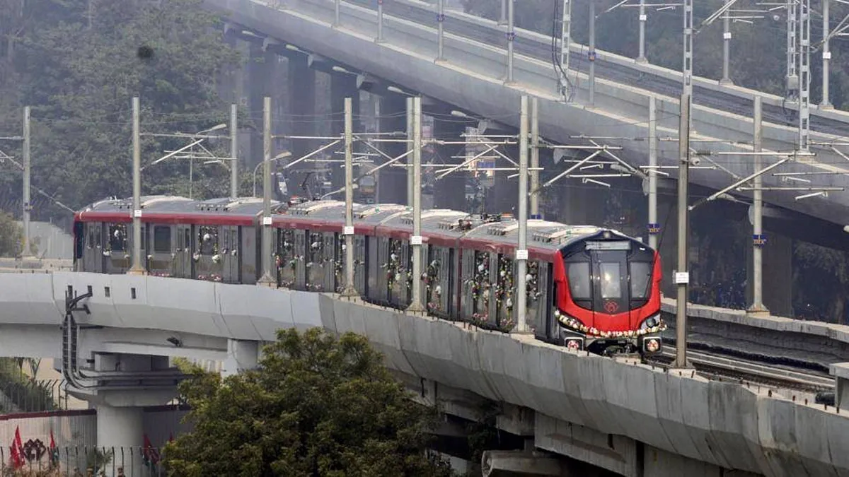
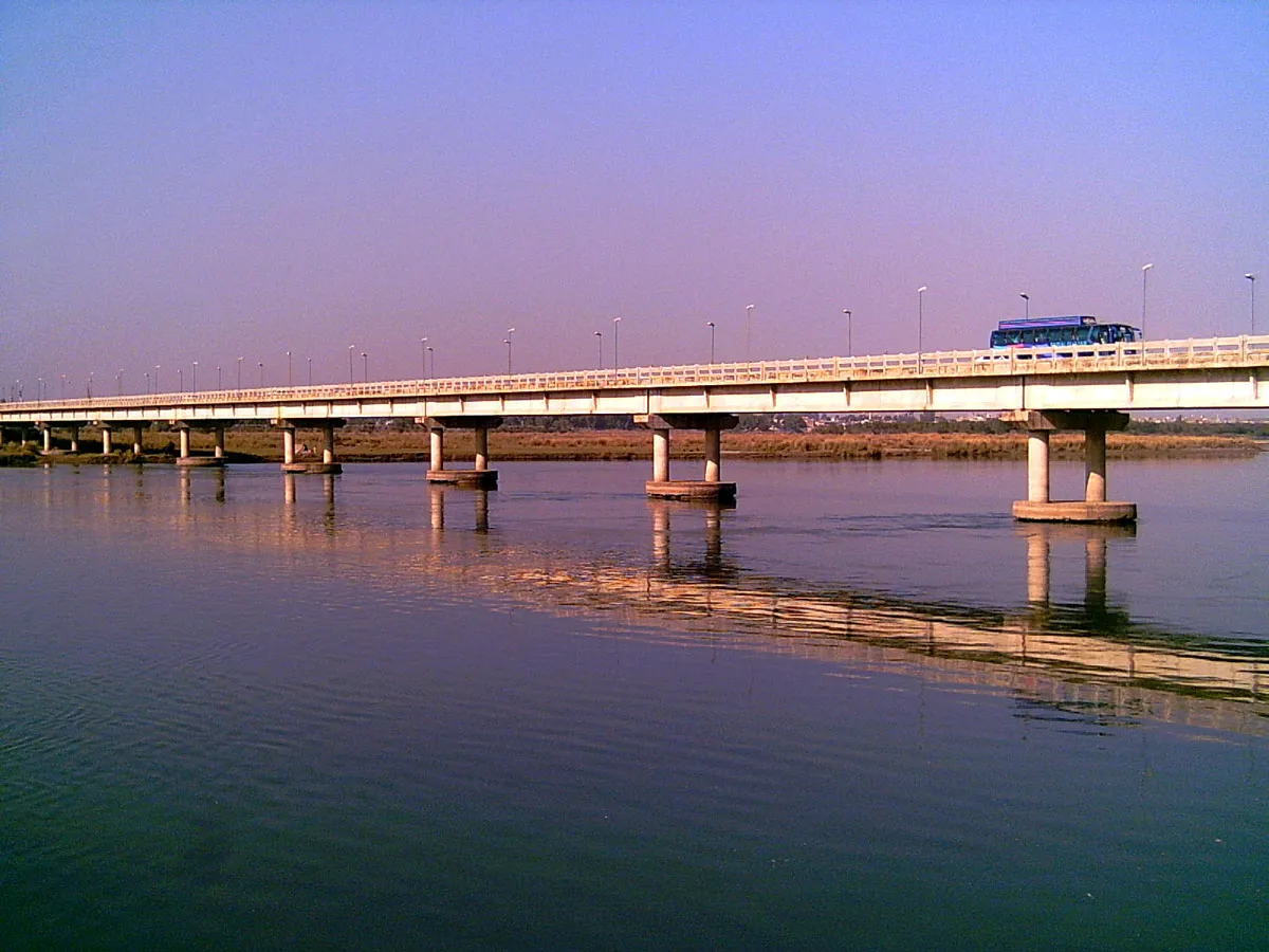
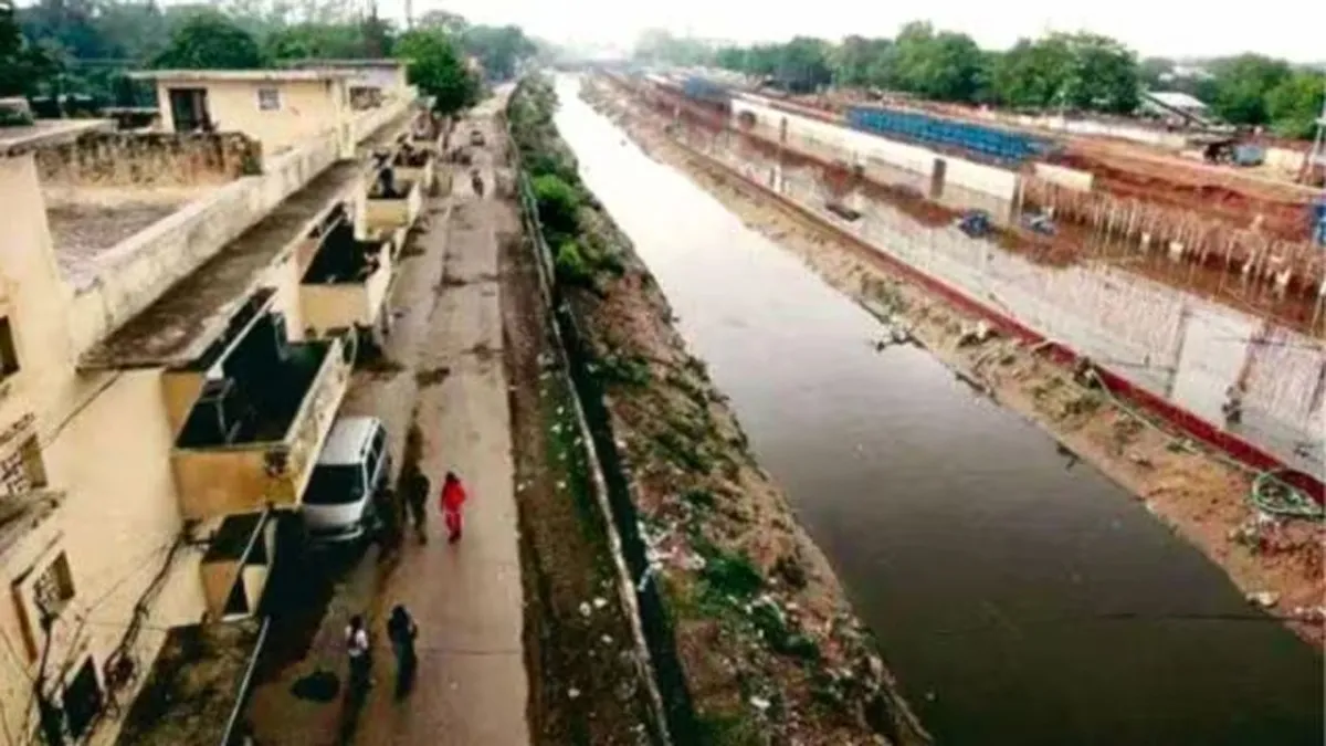
Elevated corridors such as the Western Peripheral Expressway are among the key factors disrupting Delhi’s natural water flow and drainage systems, according to the newly unveiled Drainage Master Plan 2025. The report recommends that water-sensitive studies be made mandatory before executing major infrastructure projects to prevent obstruction of natural drainage patterns.
The Drainage Master Plan 2025, designed as a 30-year solution to the Capital’s chronic waterlogging and flooding problems, divides Delhi into three drainage basins — Najafgarh, Barapullah, and Trans-Yamuna. Prepared by consultants appointed by the Public Works Department (PWD), the plan identifies infrastructure-induced disruptions as a significant challenge to Delhi’s drainage capacity.
The consultants have also developed Detailed Project Reports (DPRs) for each basin, outlining current challenges and recommending actionable solutions. The report highlights that projects meant to ease congestion and improve connectivity — including the 135-kilometre Western Peripheral Expressway — have altered regional water flow patterns, particularly within the Najafgarh Basin, extending beyond Delhi’s National Capital Territory (NCT).
Constructed to reduce traffic and air pollution, the expressway has unintentionally impacted natural drainage, creating flow obstructions that exacerbate flooding in several low-lying areas. The report cautions that similar issues could arise with future projects, such as the proposed elevated Ring Road and the expansion of the Delhi Metro, if drainage integration is overlooked.
A senior PWD official noted, “While feasibility, soil, and environmental studies are routinely conducted before any construction project, water-sensitive assessments are often neglected. The findings of this plan make it clear that such studies are essential for mitigating flood risks.”
The report underscores that drainage considerations must be integrated into the design of all major urban projects. It further warns that upcoming proposals — such as the construction of a ring railway along peripheral roads — could further alter flow patterns, restricting water entry into Delhi to only a few designated points.
With Delhi’s population projected to reach 30.8 million, urbanisation pressures, particularly in the western and northern regions within the Najafgarh Basin, are expected to worsen the city’s flooding risks.
The proposed elevated Ring Road, spanning 56 kilometres over the existing Mahatma Gandhi Marg, will pass through major junctions including Nigambodh Ghat, AIIMS, Ashram, Sarai Kale Khan, Punjabi Bagh, and Lajpat Nagar. Including ramps, loops, and connecting roads, the total length of the corridor could reach 80 kilometres, significantly transforming the city’s transport landscape.
However, the report stresses that the expansion must be guided by “water-sensitive spatial planning” and blue–green infrastructure principles, promoting resilient and sustainable urban development.
Officials confirmed that a cabinet note for DPR approval has been submitted to the government. Once sanctioned, PWD will invite private tenders to commence implementation, targeting a five-year completion timeline for turning the plan into a long-term flood-mitigation framework for Delhi. 

Elevated corridors such as the Western Peripheral Expressway are among the key factors disrupting Delhi’s natural water flow and drainage systems, according to the newly unveiled Drainage Master Plan 2025. The report recommends that water-sensitive studies be made mandatory before executing major infrastructure projects to prevent obstruction of natural drainage patterns.The Drainage Master Plan 2025, designed as a 30-year solution to the Capital’s chronic waterlogging and flooding problems, divides Delhi into three drainage basins — Najafgarh, Barapullah, and Trans-Yamuna. Prepared by consultants appointed by the Public Works Department (PWD), the plan identifies infrastructure-induced disruptions as a significant challenge to Delhi’s drainage capacity.The consultants have also developed Detailed Project Reports (DPRs) for each basin, outlining current challenges and recommending actionable solutions. The report highlights that projects meant to ease congestion and improve connectivity — including the 135-kilometre Western Peripheral Expressway — have altered regional water flow patterns, particularly within the Najafgarh Basin, extending beyond Delhi’s National Capital Territory (NCT).Constructed to reduce traffic and air pollution, the expressway has unintentionally impacted natural drainage, creating flow obstructions that exacerbate flooding in several low-lying areas. The report cautions that similar issues could arise with future projects, such as the proposed elevated Ring Road and the expansion of the Delhi Metro, if drainage integration is overlooked.A senior PWD official noted, “While feasibility, soil, and environmental studies are routinely conducted before any construction project, water-sensitive assessments are often neglected. The findings of this plan make it clear that such studies are essential for mitigating flood risks.”The report underscores that drainage considerations must be integrated into the design of all major urban projects. It further warns that upcoming proposals — such as the construction of a ring railway along peripheral roads — could further alter flow patterns, restricting water entry into Delhi to only a few designated points.With Delhi’s population projected to reach 30.8 million, urbanisation pressures, particularly in the western and northern regions within the Najafgarh Basin, are expected to worsen the city’s flooding risks.The proposed elevated Ring Road, spanning 56 kilometres over the existing Mahatma Gandhi Marg, will pass through major junctions including Nigambodh Ghat, AIIMS, Ashram, Sarai Kale Khan, Punjabi Bagh, and Lajpat Nagar. Including ramps, loops, and connecting roads, the total length of the corridor could reach 80 kilometres, significantly transforming the city’s transport landscape.However, the report stresses that the expansion must be guided by “water-sensitive spatial planning” and blue–green infrastructure principles, promoting resilient and sustainable urban development.Officials confirmed that a cabinet note for DPR approval has been submitted to the government. Once sanctioned, PWD will invite private tenders to commence implementation, targeting a five-year completion timeline for turning the plan into a long-term flood-mitigation framework for Delhi. 

Next Story
Infrastructure Urban

Coal Ministry Achieves Milestones under Special Campaign 5.0

The Ministry of Coal and its Public Sector Undertakings (PSUs) have achieved notable milestones under the Special Campaign 5.0, focusing on cleanliness, operational efficiency, and sustainability across the coal sector. During the implementation phase from 2–31 October 2025, over 1,205 sites were cleaned, covering 68,04,087 sq ft, nearing the target of 82,51,511 sq ft. Scrap disposal of 5,813 MT against a target of 8,678 MT generated Rs 228.7 million in revenue. In addition, 1,11,248 physical and 30,331 electronic files were reviewed, with 74,123 weeded out or closed. Key initiatives showc..

Next Story
Infrastructure Energy

Vesting Orders Issued for Three Coal Blocks under Commercial Auctions

The Ministry of Coal’s Nominated Authority has issued vesting orders for three coal blocks under commercial coal block auctions on 23 October 2025. The Coal Mine Development and Production Agreements (CMDPAs) for these mines were earlier signed on 21 August 2025. The three blocks include Rajgamar Dipside (Deavnara), Tangardihi North, and Mahuagarhi. Of these, two are partially explored while one is fully explored, with a combined peak rated capacity of around 1 MTPA and geological reserves of approximately 1,484.41 million tonnes. These mines are expected to generate annual revenue of abou..

Next Story
Infrastructure Urban

TEC, IIT-Hyderabad Partner to Boost 6G and Telecom Standards

The Telecommunication Engineering Centre (TEC), technical arm of the Department of Telecommunications (DoT), has signed a Memorandum of Understanding (MoU) with the Indian Institute of Technology Hyderabad (IIT Hyderabad) for joint research and technical collaboration in advanced telecom technologies and standardisation. The partnership focuses on developing India-specific standards and test frameworks for next-generation networks, including 6G, Artificial Intelligence (AI), and Non-Terrestrial Networks (NTNs). It also aims to enhance India’s participation in international standardisation f..

Advertisement

Subscribe to Our Newsletter

Get daily newsletters around different themes from Construction world.

STAY CONNECTED

Advertisement

Advertisement

Advertisement

Talk to us?