NHAI Begins Work On Rs 50 Billion AIIMS–Mahipalpur Corridor
ROADS & HIGHWAYS

NHAI Begins Work On Rs 50 Billion AIIMS–Mahipalpur Corridor

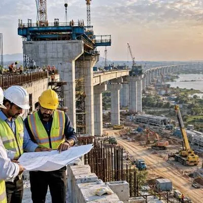
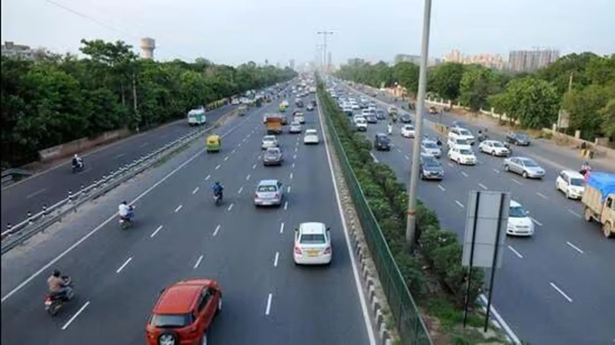
The National Highways Authority of India (NHAI) has begun the planning phase for a 20-kilometre elevated corridor connecting AIIMS to the Mahipalpur bypass and the Gurugram–Faridabad Road, aimed at decongesting Delhi’s major arterial routes, officials said. The new corridor is expected to significantly ease traffic on the Delhi–Gurugram highway (NH-48), Mehrauli–Gurgaon Road, and both the inner and outer ring roads.
The NHAI has invited bids for consultancy services to prepare the Detailed Project Report (DPR), with the submission deadline set for 15 October. Officials confirmed that the report will finalise the design, alignment, and total project cost, currently estimated at around Rs 50 billion.
According to preliminary plans, the corridor will start near AIIMS/INA, extend via Nadira Marg, and connect to both the Mehrauli–Gurgaon Road and Gurugram–Faridabad Road, running parallel to NH-48. The corridor will create a direct, signal-free route across South Delhi, diverting through-traffic from Gurugram towards Ghaziabad, Noida, and Greater Noida, the NHAI report stated.
Officials said the alignment will cover key locations including Brig Hoshiyar Singh Marg, Africa Avenue, Nelson Mandela Marg, Vasant Vihar, Vasant Kunj, and Arjangarh, before terminating on the Faridabad–Gurgaon Road. The corridor will feature off-ramp exits for commuters travelling towards IFFCO Chowk (NH-148A), IGI Airport (NH-148AE), and Mahipalpur and Chhatarpur.
Experts have urged that the DPR be designed carefully to manage traffic load on alternate routes during construction. S. Velmurugan, Chief Scientist and Head of the Traffic Engineering and Safety Division at the Central Road Research Institute (CRRI), noted that the Delhi–Gurgaon route is already operating at full capacity. “The upcoming elevated corridor will reduce the load, but the DPR must also plan for alternative transport and ensure minimal disruption,” he said.
He added that while the Delhi Airport may see reduced pressure once the Noida–Jewar Airport becomes operational, Gurugram connectivity remains a critical bottleneck. “Construction beyond the airport should be less challenging, but special care must be taken in the Delhi section, especially around the RTR flyover, where off-ramps should be meticulously planned,” Velmurugan advised.
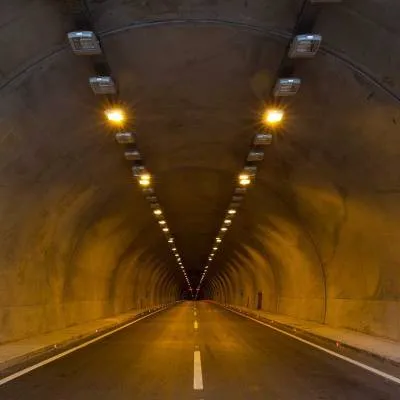
The central government, earlier this year, directed NHAI to explore the feasibility of a tunnel or elevated corridor linking the Delhi–Meerut Expressway’s endpoint to the proposed AIIMS–Mahipalpur bypass corridor, creating a continuous high-speed link across eastern and southern Delhi.
Currently, both the Delhi–Meerut and Delhi–Dehradun expressways terminate near Sarai Kale Khan, while the DND–Sohna (Jewar) link of the Delhi–Mumbai Expressway is also set to commence soon. Officials noted that these overlapping routes will increase traffic congestion near the Sarai Kale Khan and NDMC zones, further justifying the need for an alternative elevated link.
The Delhi government had proposed a similar 14-kilometre corridor in 2019, connecting Barapullah near Thyagraj Stadium to Mahipalpur bypass, aimed at easing traffic near the Government Pool Residential Accommodation (GPRA) colonies such as Nauroji Nagar, Netaji Nagar, and Sarojini Nagar. However, the plan was shelved due to funding constraints and design challenges.
The new AIIMS–Mahipalpur–Gurugram elevated corridor, once completed, will serve as a key mobility corridor for commuters across South Delhi and NCR, drastically reducing travel time between AIIMS and Faridabad, while offering a long-term solution to Delhi’s persistent traffic woes.

The National Highways Authority of India (NHAI) has begun the planning phase for a 20-kilometre elevated corridor connecting AIIMS to the Mahipalpur bypass and the Gurugram–Faridabad Road, aimed at decongesting Delhi’s major arterial routes, officials said. The new corridor is expected to significantly ease traffic on the Delhi–Gurugram highway (NH-48), Mehrauli–Gurgaon Road, and both the inner and outer ring roads.The NHAI has invited bids for consultancy services to prepare the Detailed Project Report (DPR), with the submission deadline set for 15 October. Officials confirmed that the report will finalise the design, alignment, and total project cost, currently estimated at around Rs 50 billion.According to preliminary plans, the corridor will start near AIIMS/INA, extend via Nadira Marg, and connect to both the Mehrauli–Gurgaon Road and Gurugram–Faridabad Road, running parallel to NH-48. The corridor will create a direct, signal-free route across South Delhi, diverting through-traffic from Gurugram towards Ghaziabad, Noida, and Greater Noida, the NHAI report stated.Officials said the alignment will cover key locations including Brig Hoshiyar Singh Marg, Africa Avenue, Nelson Mandela Marg, Vasant Vihar, Vasant Kunj, and Arjangarh, before terminating on the Faridabad–Gurgaon Road. The corridor will feature off-ramp exits for commuters travelling towards IFFCO Chowk (NH-148A), IGI Airport (NH-148AE), and Mahipalpur and Chhatarpur.Experts have urged that the DPR be designed carefully to manage traffic load on alternate routes during construction. S. Velmurugan, Chief Scientist and Head of the Traffic Engineering and Safety Division at the Central Road Research Institute (CRRI), noted that the Delhi–Gurgaon route is already operating at full capacity. “The upcoming elevated corridor will reduce the load, but the DPR must also plan for alternative transport and ensure minimal disruption,” he said.He added that while the Delhi Airport may see reduced pressure once the Noida–Jewar Airport becomes operational, Gurugram connectivity remains a critical bottleneck. “Construction beyond the airport should be less challenging, but special care must be taken in the Delhi section, especially around the RTR flyover, where off-ramps should be meticulously planned,” Velmurugan advised.The central government, earlier this year, directed NHAI to explore the feasibility of a tunnel or elevated corridor linking the Delhi–Meerut Expressway’s endpoint to the proposed AIIMS–Mahipalpur bypass corridor, creating a continuous high-speed link across eastern and southern Delhi.Currently, both the Delhi–Meerut and Delhi–Dehradun expressways terminate near Sarai Kale Khan, while the DND–Sohna (Jewar) link of the Delhi–Mumbai Expressway is also set to commence soon. Officials noted that these overlapping routes will increase traffic congestion near the Sarai Kale Khan and NDMC zones, further justifying the need for an alternative elevated link.The Delhi government had proposed a similar 14-kilometre corridor in 2019, connecting Barapullah near Thyagraj Stadium to Mahipalpur bypass, aimed at easing traffic near the Government Pool Residential Accommodation (GPRA) colonies such as Nauroji Nagar, Netaji Nagar, and Sarojini Nagar. However, the plan was shelved due to funding constraints and design challenges.The new AIIMS–Mahipalpur–Gurugram elevated corridor, once completed, will serve as a key mobility corridor for commuters across South Delhi and NCR, drastically reducing travel time between AIIMS and Faridabad, while offering a long-term solution to Delhi’s persistent traffic woes.

Next Story
Infrastructure Urban

ABS Marine Sees CRISIL Credit Rating Upgrade

ABS Marine Services has secured an upgrade to its long term and short term credit ratings from CRISIL, reflecting improved profitability and revenue growth through long term contracts. CRISIL moved the long term rating from BBB+/Stable to A-/Stable and revised the short term rating from A2 to A2+. The action signals strengthened financial metrics and operational resilience. The company benefited from durable client relationships with firms such as ONGC and Schlumberger. The rating decision followed stronger cash flows and an enlarged bank loan facility, which increased from Rs 3,705 million (m..

Next Story
Infrastructure Transport

Project BRAHMANK Marks 16 Years Of Strategic Roads In Arunachal

Project BRAHMANK is marking 16 years of work to establish strategic road and bridge links across Arunachal Pradesh, maintaining and developing 811 kilometres of roads and nearly 86 bridges that range from small culverts to large steel and arch bridges. These transport links are described as critical for ensuring year-round movement of defence personnel, equipment and essential supplies while improving everyday travel for people in remote villages. The project balances national security requirements with regional development by focusing on reliable access in challenging terrain. Notable enginee..

Next Story
Infrastructure Transport

Longleng CSOs Give One Week Ultimatum Over Two-Lane Highway

Civil society organisations (CSOs) in Longleng district have demanded immediate restoration of the deteriorating Changtongya–Longleng two-lane road and sought a detailed status report on the stalled construction within one week. The demand followed a consultative meeting convened under the Phom Peoples' Council (PPC) to discuss welfare and development concerns. PPC president YB Angam Phom said prolonged non-maintenance had caused hardship to commuters and affected transportation, local commerce and the district's development. The meeting urged authorities to undertake immediate restoration a..

Advertisement

Subscribe to Our Newsletter

Get daily newsletters around different themes from Construction world.

STAY CONNECTED

Advertisement

Advertisement

Advertisement