Andhra govt starts integrated land survey under land protection scheme
Real Estate

Andhra govt starts integrated land survey under land protection scheme
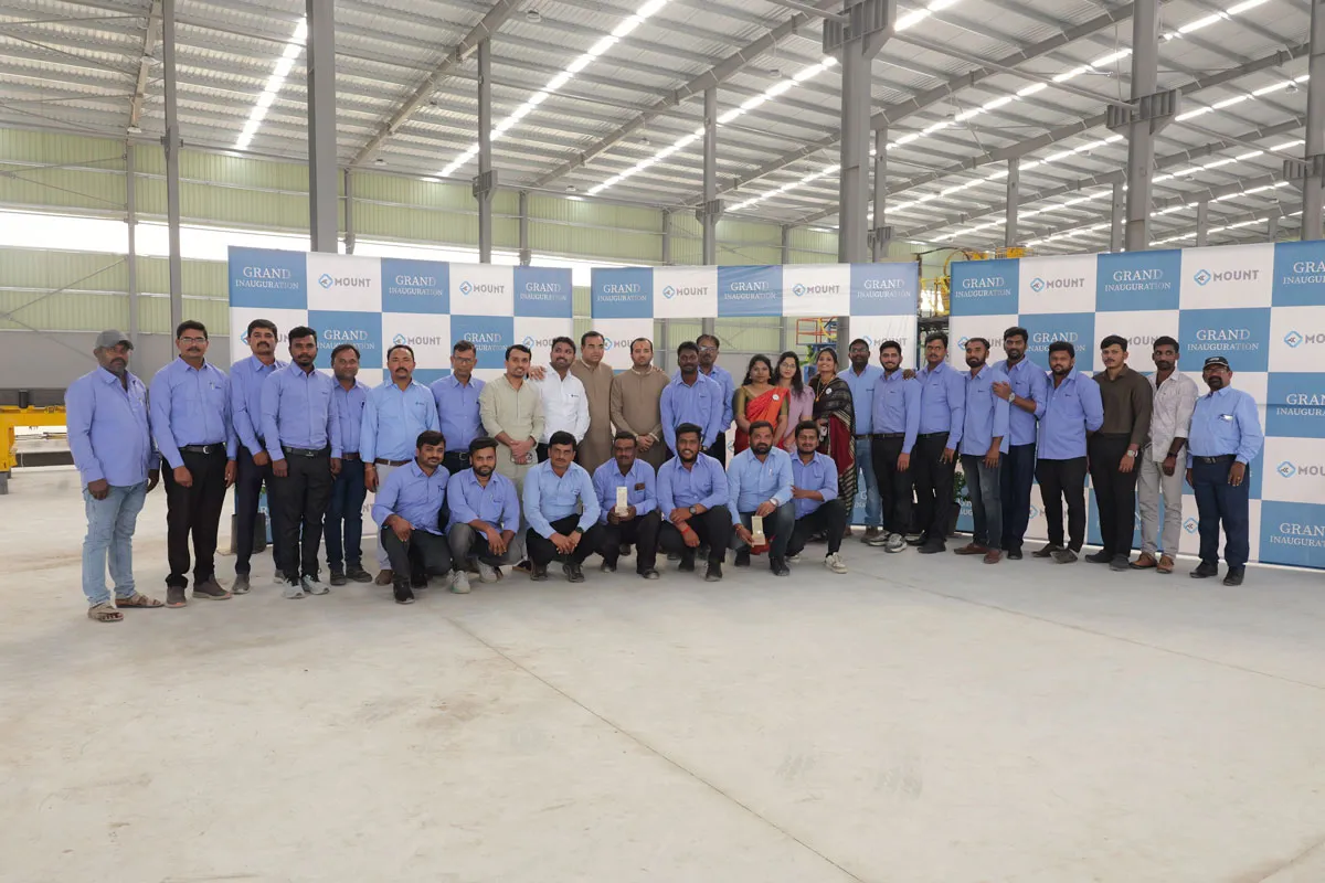
The government of Andhra Pradesh has started an integrated land survey under YSR Jagananna Permanent Land Protection Scheme.

Siddhartha Jain, Commissioner, State Survey Settlement and Land Records, told the media that the survey would include more than 1.26 lakh sq km of land across the state.

The commissioner said that the integrated survey would include all kinds of land comprising agriculture, non-agriculture, urban and rural habitations. The survey would be done in hybrid methodology utilising drones, CORS network and GNSS receivers. The work process was submitted to the judicial preview commission for scrutiny.

He said that the survey would need the hiring of drone and aerial photography as an end-to-end solution for the large-scale mapping of agriculture and residential land depending on the extent owned by every person. Additionally, the land survey is a part of the central government's programme of Survey of Villages Abadi and Mapping with Improvised Technology In Village Areas (SAVAMITA).

The commissioner asked the shareholders to present their objections or comments or advice before September 7 to the judicial preview committee. He urged the individuals concerned to check the project data on the portal of the judicial preview committee.

Shareholders can present their advice before September 7 to the judicial preview committee. Individuals may check the project details on the portal of the judicial preview committee.

Image Source


Also read: Andhra Pradesh govt to train 1,300 surveyors to expedite land survey

The government of Andhra Pradesh has started an integrated land survey under YSR Jagananna Permanent Land Protection Scheme. Siddhartha Jain, Commissioner, State Survey Settlement and Land Records, told the media that the survey would include more than 1.26 lakh sq km of land across the state. The commissioner said that the integrated survey would include all kinds of land comprising agriculture, non-agriculture, urban and rural habitations. The survey would be done in hybrid methodology utilising drones, CORS network and GNSS receivers. The work process was submitted to the judicial preview commission for scrutiny. He said that the survey would need the hiring of drone and aerial photography as an end-to-end solution for the large-scale mapping of agriculture and residential land depending on the extent owned by every person. Additionally, the land survey is a part of the central government's programme of Survey of Villages Abadi and Mapping with Improvised Technology In Village Areas (SAVAMITA). The commissioner asked the shareholders to present their objections or comments or advice before September 7 to the judicial preview committee. He urged the individuals concerned to check the project data on the portal of the judicial preview committee. Shareholders can present their advice before September 7 to the judicial preview committee. Individuals may check the project details on the portal of the judicial preview committee. Image Source Also read: Andhra Pradesh govt to train 1,300 surveyors to expedite land survey

Next Story
Technology

Creativity is for Humans, Productivity is for Robots!

On most construction sites, the rhythm of progress is measured by the clang of steel, the hum of machinery and the sweat of thousands. But increasingly, new sounds are entering the mix: the quiet efficiency of algorithms, the hum of drones overhead, and the precision of robotic arms at work. Behind the concrete and cables, an invisible force is taking hold: data. It is turning blueprints into living simulations, managing fleets of machines, and helping engineers make decisions before a single brick is laid. This is not the construction of tomorrow; it is the architecture of today – built on ..

Next Story
Infrastructure Urban

Bhartiya Urban Unveils ‘Bhartiya Converge’ GCC Enablement Platform

Bhartiya Urban has launched Bhartiya Converge, its latest business venture designed to become India’s premier platform for enabling Global Capability Centres (GCCs). The initiative offers an integrated ecosystem aimed at helping global clients gain a competitive edge in today’s rapidly evolving business environment. Focused on enhancing turnaround time and operational efficiencies, the company seeks to deliver better business outcomes powered by top-tier talent. Bhartiya Converge presents a customised and integrated suite of microservices that addresses the nuanced and evolving operational..

Next Story
Real Estate

Macrotech expands Pune footprint with five acre land development

Macrotech Developers, a leading real estate company, has entered into a development agreement with Goel Ganga Developments for a 5.1-acre land parcel located in Pune’s western suburb of Wakad, according to property registration documents accessed by Propstack. With the addition of this project, Macrotech, also known as Lodha Group, now has a total of 11 ongoing or completed projects in the Pune market. As per the registration documents, Macrotech paid a stamp duty of Rs 80.26 million for the land, based on a transaction value of approximately Rs 1.65 billion. Under the terms of the develop..

Advertisement

Advertisement

Subscribe to Our Newsletter

Get daily newsletters around different themes from Construction world.

STAY CONNECTED

Advertisement

Advertisement

Advertisement

Advertisement

Talk to us?