Kolhapur municipal corp to use GIS and AI for property survey

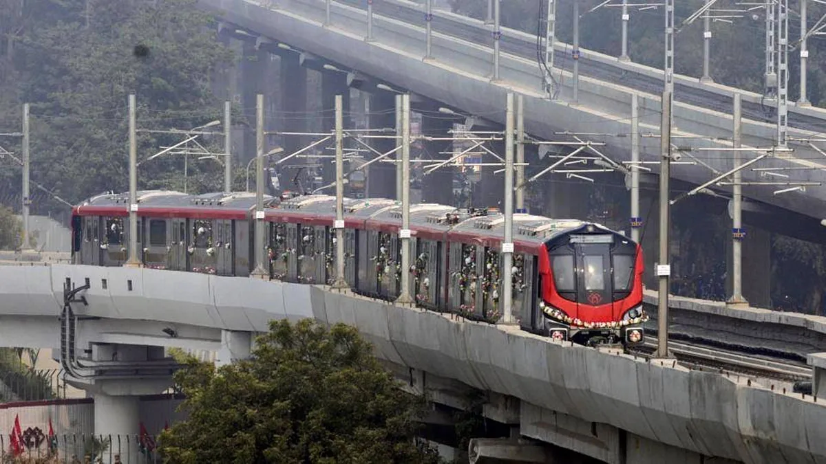
Lucknow Metro East-West Corridor Consultancy Contract Awarded
The Uttar Pradesh Metro Rail Corporation has awarded the first construction-related consultancy contract for the Lucknow Metro East West Corridor to a joint venture of AYESA Ingenieria Arquitectura SAU and AYESA India Pvt Ltd. The firm was declared the lowest bidder for the Detailed Design Consultant contract for Lucknow Metro Line-2 under Phase 1B and the contract was recommended following the financial bid. The contract is valued at Rs 159.0 million (mn), covering design services for the corridor. Lucknow Metro Line-2 envisages the construction of an 11.165 kilometre corridor connecting Cha..

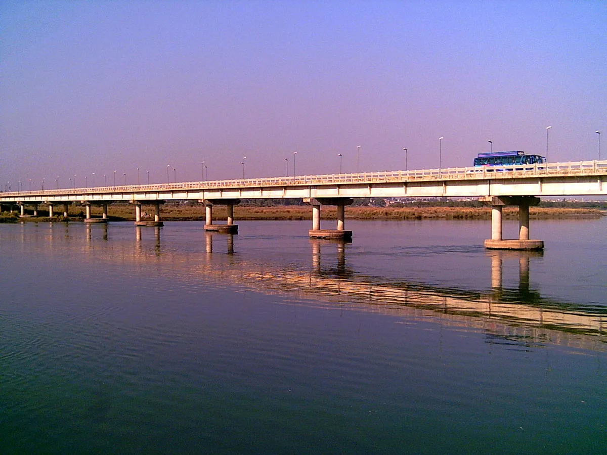
Div Com Kashmir Urges Fast Tracking Of Jhelum Water Transport Project
The Divisional Commissioner of Kashmir has called for the fast-tracking of the Jhelum water transport project, urging district administrations and relevant agencies to accelerate planning and clearances. In a meeting convened at the divisional headquarters, the commissioner instructed officials from irrigation, public health engineering and municipal departments to prioritise the project and coordinate survey and design work. The directive emphasised removal of administrative bottlenecks and close monitoring to ensure timely mobilisation of resources and contractors. Officials were told to in..

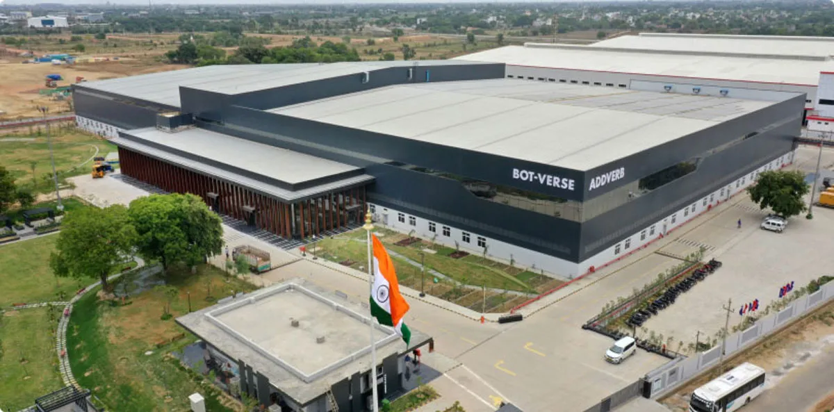
Interarch Reports Strong Q3 And Nine Month Results
Interarch Building Solutions Limited reported unaudited results for the third quarter and nine months ended 31 December 2025, recording strong revenue growth driven by execution and a robust order book. Net revenue for the third quarter rose by 43.7 per cent to Rs 5.225 billion (bn), compared with Rs 3.636 bn a year earlier, reflecting heightened demand in pre-engineered building projects. The company’s total order book as at 31 January 2026 stood at Rs 16.85 bn, supporting near-term visibility. EBITDA excluding other income for the quarter increased by 43.2 per cent to Rs 503 million (mn),..


