Maharashtra to finish mapping of rural land with drones by March-end
Technology

Maharashtra to finish mapping of rural land with drones by March-end

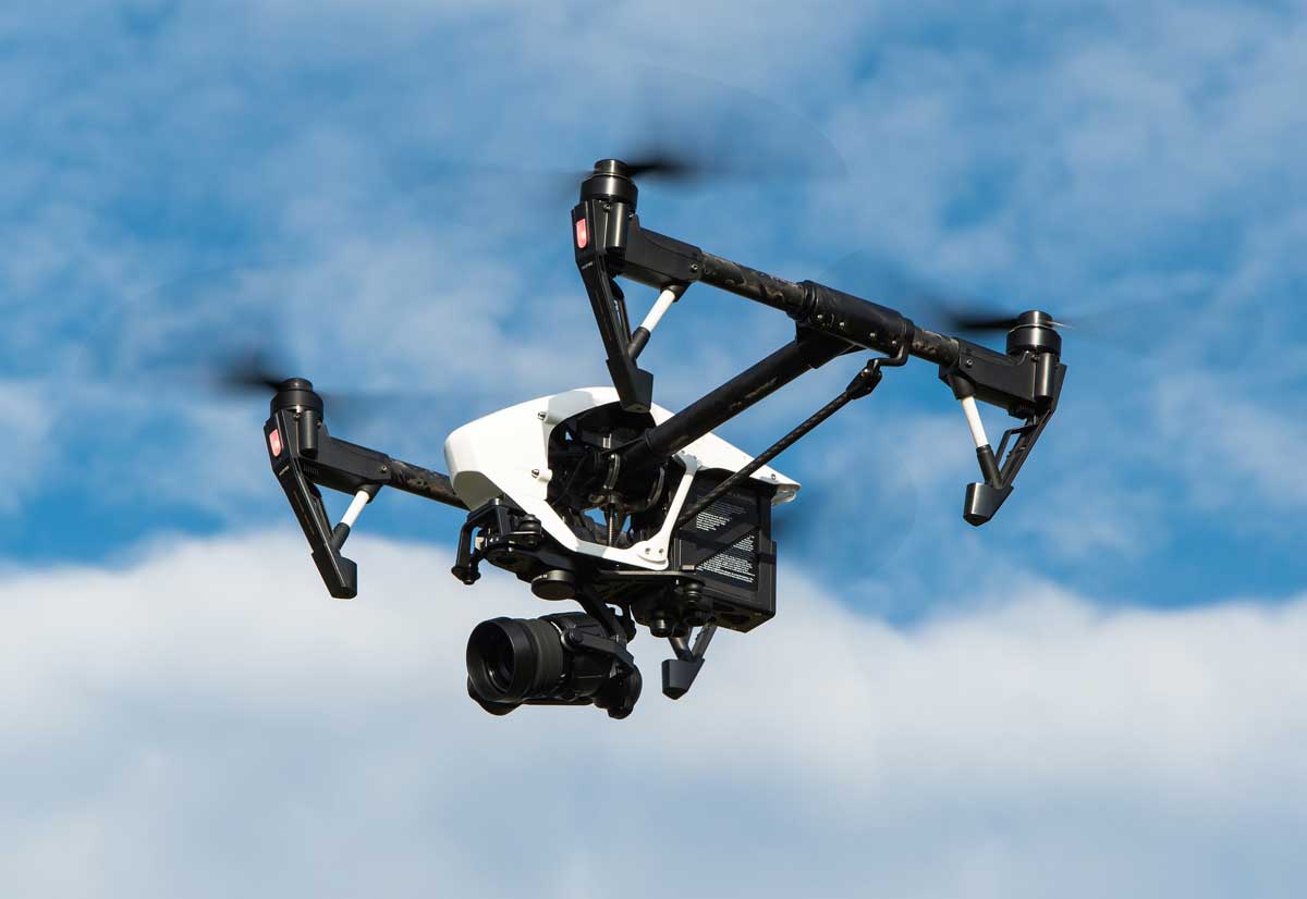
According to Maharashtra settlement commissioner NK Sudhanshu, the state would finish drone-based mapping of rural residential land parcels by March this year to define the boundaries of villages, private, government, and semi-government properties, as well as the locations of highways and canals.

Last year, the Union government gave the Maharashtra land records department, which reports to the settlement commissioner's office, 25 drones to help speed up the land survey project, which was established to create accurate land records for rural planning and minimise property disputes.

“Mapping was earlier carried out manually. However, the drone technology is now changing the way this massive exercise was undertaken,” Sudhanshu said.

Property cards for these locations, according to officials, will be ready by December 2024.

Under the Svamitva initiative, the project began in Sonori village in Purandar tehsil in Pune district in 2018 with the goal of providing integrated property validation for rural India. Despite the two-year Covid timeframe, 35,115 communities were covered by the initiative last year, including 31,787 villages where drone technology was deployed.

“Now, just 3,328 villages are remaining, which will be covered by March 2023,” said an official involved in the exercise. As many as 4,733 property card data of these rural villages have been generated on the Mahabhumi website, the official said, adding that the estimated beneficiary count in the state was 990,000 and the property cards had been generated for 716,000.

“Through this scheme, the government resolves to enable economic progress in rural India by providing a ‘record of rights’ to every rural household. This is planned to be achieved using drone and continuously operating reference station technology for capturing images,” said a central official.

According to Maharashtra settlement commissioner NK Sudhanshu, the state would finish drone-based mapping of rural residential land parcels by March this year to define the boundaries of villages, private, government, and semi-government properties, as well as the locations of highways and canals. Last year, the Union government gave the Maharashtra land records department, which reports to the settlement commissioner's office, 25 drones to help speed up the land survey project, which was established to create accurate land records for rural planning and minimise property disputes. “Mapping was earlier carried out manually. However, the drone technology is now changing the way this massive exercise was undertaken,” Sudhanshu said. Property cards for these locations, according to officials, will be ready by December 2024. Under the Svamitva initiative, the project began in Sonori village in Purandar tehsil in Pune district in 2018 with the goal of providing integrated property validation for rural India. Despite the two-year Covid timeframe, 35,115 communities were covered by the initiative last year, including 31,787 villages where drone technology was deployed. “Now, just 3,328 villages are remaining, which will be covered by March 2023,” said an official involved in the exercise. As many as 4,733 property card data of these rural villages have been generated on the Mahabhumi website, the official said, adding that the estimated beneficiary count in the state was 990,000 and the property cards had been generated for 716,000. “Through this scheme, the government resolves to enable economic progress in rural India by providing a ‘record of rights’ to every rural household. This is planned to be achieved using drone and continuously operating reference station technology for capturing images,” said a central official.

Next Story
Infrastructure Transport

Mumbai-Ahmedabad Bullet Train Set to Launch by 2028

India’s first bullet train is set to revolutionize high-speed travel along the western corridor, with the Mumbai-Ahmedabad high-speed rail project aiming for a 2028 launch. This announcement marks a major milestone in India’s infrastructure goals, as it promises to reduce travel time between the two economic hubs from eight hours to just three.Spanning a planned 508-kilometre stretch, the corridor stands as a flagship example of Indo-Japanese collaboration in technology and engineering. Once operational, the train is expected to transform intercity mobility and place India among the select..

Next Story
Infrastructure Transport

Mumbai-Gandhinagar Train Service Enhances Passenger Capacity

The Mumbai Central–Gandhinagar Capital Vande Bharat Express has increased its passenger capacity by adding four additional AC chair car coaches to meet the growing commuter demand on one of India’s busiest business corridors. This upgrade, effective from 11 May, raised the train’s seating capacity from 1,128 to 1,440 passengers, allowing it to serve 936 more passengers daily in both directions. The increase was described as a practical measure to accommodate the surging demand on the busy Mumbai–Ahmedabad–Gandhinagar route, which regularly operates at over 150 percent seat occupancy...

Next Story
Infrastructure Urban

Delhi Plans 12 Sewage Plants to Clean Najafgarh Drain Efficiently

Delhi’s ambitious plan to improve the water quality of the Yamuna River has gained significant momentum as the Delhi Jal Board (DJB) has begun work on 12 new sewage treatment plants (STPs) aimed at reducing the volume of untreated sewage being discharged from the Najafgarh Drain.This initiative forms part of the ongoing efforts to clean the Yamuna and restore the river’s health, which has long been a critical environmental issue for the national capital. Given the alarming pollution levels in the Yamuna, experts and officials consider this project a vital step toward addressing the persist..

Advertisement

Advertisement

Subscribe to Our Newsletter

Get daily newsletters around different themes from Construction world.

STAY CONNECTED

Advertisement

Advertisement

Advertisement

Advertisement

Talk to us?