PM Gati Shakti will help prevent cost overruns: Piyush Goyal
Technology

PM Gati Shakti will help prevent cost overruns: Piyush Goyal
The Pradhan Mantri Gati Shakti National Master Plan will help develop infrastructure in a planned manner, prevent cost overruns, and increase India's cost competitiveness, besides saving taxpayers' money, Union Commerce and Industry Minister Piyush Goyal said last week.

He said 1,000 geospatial maps have been formed for forests, wildlife sanctuaries, highways and railway infrastructure, power plants and industrial zones in India. "Maps of states are also being integrated with them. By the last count, around 450 infrastructure data have been mapped," the minister said.

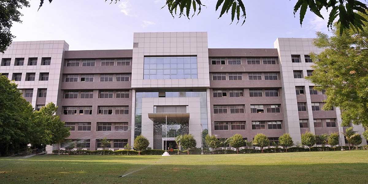
Gujarat-based Bhaskaracharya Institute for Space Applications and Geo-informatics (BISAG-N), which works to implement map-based Geospatial Information Systems (GIS), has developed the PM Gati Shakti Master Plan, Goyal said.

"These maps are all interconnected, because of which the future infrastructure will be developed in a planned manner," he said at an investors' conference at Dholera in Gujarat.

He said the PM Gati Shakti National Master Plan will help in planning the construction of an overbridge, diverting routes if a forest or wildlife sanctuary comes in the way, and figuring out how to construct a bridge with the smallest length for a river, etc.

"All these can be more effectively planned to prevent time and cost overrun so that the projects are completed in time. Its benefit will ultimately go to the citizens. Any delay in government projects or infrastructures is a waste of taxpayers' money," the minister said.

See also:
Govt to provide incentive under PLI scheme
STL to build Indian telco’s optical network for 5G


The Pradhan Mantri Gati Shakti National Master Plan will help develop infrastructure in a planned manner, prevent cost overruns, and increase India's cost competitiveness, besides saving taxpayers' money, Union Commerce and Industry Minister Piyush Goyal said last week. He said 1,000 geospatial maps have been formed for forests, wildlife sanctuaries, highways and railway infrastructure, power plants and industrial zones in India. Maps of states are also being integrated with them. By the last count, around 450 infrastructure data have been mapped, the minister said. Gujarat-based Bhaskaracharya Institute for Space Applications and Geo-informatics (BISAG-N), which works to implement map-based Geospatial Information Systems (GIS), has developed the PM Gati Shakti Master Plan, Goyal said. These maps are all interconnected, because of which the future infrastructure will be developed in a planned manner, he said at an investors' conference at Dholera in Gujarat. He said the PM Gati Shakti National Master Plan will help in planning the construction of an overbridge, diverting routes if a forest or wildlife sanctuary comes in the way, and figuring out how to construct a bridge with the smallest length for a river, etc. All these can be more effectively planned to prevent time and cost overrun so that the projects are completed in time. Its benefit will ultimately go to the citizens. Any delay in government projects or infrastructures is a waste of taxpayers' money, the minister said. See also: Govt to provide incentive under PLI schemeSTL to build Indian telco’s optical network for 5G

Next Story
Technology

Building Faster, Smarter, and Greener!

Backed by ULCCS’s century-old legacy, U-Sphere combines technology, modular design and sustainable practices to deliver faster and more efficient projects. In an interaction with CW, Rohit Prabhakar, Director - Business Development, shares how the company’s integrated model of ‘Speed-Build’, ‘Smart-Build’ and ‘Sustain-Build’ is redefining construction efficiency, quality and environmental responsibility in India.U-Sphere positions itself at the intersection of speed, sustainability and smart design. How does this translate into measurable efficiency on the ground?At U..

Next Story
Infrastructure Transport

Smart Roads, Smarter India

India’s infrastructure boom is not only about laying more kilometres of highways – it’s about building them smarter, safer and more sustainably. From drones mapping fragile Himalayan slopes to 3D machine-controlled graders reducing human error, technology is steadily reshaping the way projects are planned and executed. Yet, the journey towards digitisation remains complex, demanding not just capital but also coordination, training and vision.Until recently, engineers largely depended on Survey of India toposheets and traditional survey methods like total stations or DGPS to prepare detai..

Next Story
Real Estate

What Does DCPR 2034 Mean?

The Maharashtra government has eased approval norms for high-rise buildings under DCPR 2034, enabling the municipal commissioner to sanction projects up to 180 m on large plots. This change is expected to streamline approvals, reduce procedural delays and accelerate redevelopment, drawing reactions from developers, planners and industry experts about its implications for Mumbai’s vertical growth.Under the revised DCPR 2034 rules, buildings on plots of 2,000 sq m or more can now be approved up to 180 m by the municipal commissioner, provided structural and geotechnical reports are certified b..

Advertisement

Subscribe to Our Newsletter

Get daily newsletters around different themes from Construction world.

STAY CONNECTED

Advertisement

Advertisement

Advertisement

Talk to us?