Delhi Plans Elevated Road To Decongest Ring Road
ROADS & HIGHWAYS

Delhi Plans Elevated Road To Decongest Ring Road

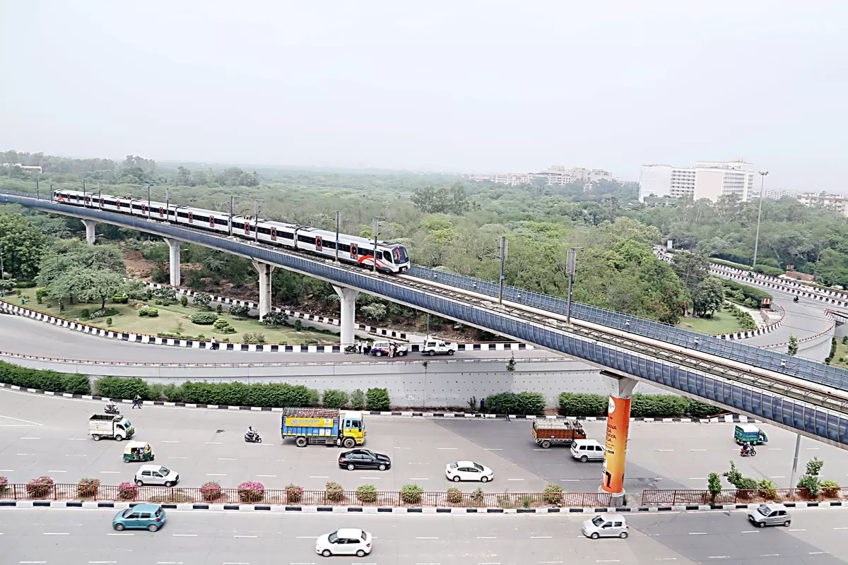
The Delhi government has unveiled plans to construct a major elevated corridor along the existing 55-kilometre stretch of the Ring Road in a bid to ease chronic traffic congestion. Public Works Department (PWD) Minister Parvesh Verma confirmed that a feasibility study for the project is underway, and Union Road Transport Minister Nitin Gadkari has given in-principle approval.

This elevated road, to be built on pillars along the central verge, will not require land acquisition and will connect with key arterial roads via ramps to ensure seamless movement. The project, which is estimated to cost between Rs 55 billion and Rs 60 billion (Rs 1 billion per kilometre), is expected to be completed within the current government's term.

According to Verma, Delhi’s Ring Roads carry some of the city's heaviest traffic volumes, resulting in frequent peak-hour congestion. “This elevated stretch will not only decongest the Ring Road itself but also improve flow on major connecting roads like Mathura Road, Aurobindo Marg, DND Flyway, and the routes to the airport, Gurgaon, and Rohtak,” he stated.

The proposal comes amid growing concerns about the capacity of Delhi’s ageing inner Ring Road. Originally designed in the 1950s for a much smaller population—under three million at the time—the Ring Road has become overburdened as Delhi’s population has soared past 30 million.

While the Outer Ring Road was later developed to divert traffic around the city’s periphery, the inner Ring Road now functions as a semi-central artery. Neighbourhoods like Lajpat Nagar, Punjabi Bagh, Ashram, and South Extension have grown into dense urban clusters, turning the Ring Road into a hybrid corridor used for both cross-city travel and local access to commercial and institutional zones.

Major intersections—AIIMS, Moolchand, ITO, Dhaula Kuan, and Ashram—serve as chokepoints where long-distance and local traffic collide. Despite flyovers and underpasses constructed in recent decades, congestion persists. A 2024 Delhi Traffic Police survey identified 134 bottlenecks across the city, with at least 12 located along the Ring Road network.

The new elevated road project seeks to address this systemic issue by enabling uninterrupted traffic flow and reducing frequent lane changes caused by local stops. It is expected to bring long-term relief to daily commuters and contribute to improved fuel efficiency and lower emissions.

With the feasibility report in progress and government-level discussions advancing, the elevated corridor stands to be one of Delhi’s most ambitious infrastructure undertakings in the coming years.

Your next big infra connection is waiting at RAHSTA 2025 – Asia’s Biggest Roads & Highways Expo, Jio World Convention Centre, Mumbai. Don’t miss out!

The Delhi government has unveiled plans to construct a major elevated corridor along the existing 55-kilometre stretch of the Ring Road in a bid to ease chronic traffic congestion. Public Works Department (PWD) Minister Parvesh Verma confirmed that a feasibility study for the project is underway, and Union Road Transport Minister Nitin Gadkari has given in-principle approval.This elevated road, to be built on pillars along the central verge, will not require land acquisition and will connect with key arterial roads via ramps to ensure seamless movement. The project, which is estimated to cost between Rs 55 billion and Rs 60 billion (Rs 1 billion per kilometre), is expected to be completed within the current government's term.According to Verma, Delhi’s Ring Roads carry some of the city's heaviest traffic volumes, resulting in frequent peak-hour congestion. “This elevated stretch will not only decongest the Ring Road itself but also improve flow on major connecting roads like Mathura Road, Aurobindo Marg, DND Flyway, and the routes to the airport, Gurgaon, and Rohtak,” he stated.The proposal comes amid growing concerns about the capacity of Delhi’s ageing inner Ring Road. Originally designed in the 1950s for a much smaller population—under three million at the time—the Ring Road has become overburdened as Delhi’s population has soared past 30 million.While the Outer Ring Road was later developed to divert traffic around the city’s periphery, the inner Ring Road now functions as a semi-central artery. Neighbourhoods like Lajpat Nagar, Punjabi Bagh, Ashram, and South Extension have grown into dense urban clusters, turning the Ring Road into a hybrid corridor used for both cross-city travel and local access to commercial and institutional zones.Major intersections—AIIMS, Moolchand, ITO, Dhaula Kuan, and Ashram—serve as chokepoints where long-distance and local traffic collide. Despite flyovers and underpasses constructed in recent decades, congestion persists. A 2024 Delhi Traffic Police survey identified 134 bottlenecks across the city, with at least 12 located along the Ring Road network.The new elevated road project seeks to address this systemic issue by enabling uninterrupted traffic flow and reducing frequent lane changes caused by local stops. It is expected to bring long-term relief to daily commuters and contribute to improved fuel efficiency and lower emissions.With the feasibility report in progress and government-level discussions advancing, the elevated corridor stands to be one of Delhi’s most ambitious infrastructure undertakings in the coming years.

Next Story
Infrastructure Urban

India Achieves TEC Certification for Indigenous Telecom System

India’s semiconductor ambitions received a major boost as a telecom system built with indigenously manufactured chips secured Telecommunication Engineering Center (TEC) certification.Union IT Minister Ashwini Vaishnaw announced the achievement on X, calling it a “big leap for India’s semiconductor story.” For the first time, a telecom system powered by Indian-made chips has successfully cleared all standards and quality tests.TEC certification, issued by the Department of Telecommunications, confirms that the product meets stringent benchmarks for performance and quality. This mileston..

Next Story
Infrastructure Transport

Mumbai Metro Line 4 Trial Runs Set to Begin This Month

Trial runs on Mumbai Metro Line 4 are expected to commence this month, with passenger services on its initial phase likely to start by the end of 2025. The Green Line will operate between Kasarvadavali and Wadala, covering 32.3 km with 32 stations, providing much-needed relief to commuters in eastern and central Mumbai and Thane.Mumbai Metropolitan Region Development Authority (MMRDA) officials stated that work is advancing rapidly on a 10.5-km section between Gaimukh and Cadbury Junction, which includes 10 stations. This stretch will open first, followed by the remainder of the line.Approxima..

Next Story
Infrastructure Transport

Mumbai Metro Line 11 Approved, Extending Corridor to Gateway

The Maharashtra Cabinet has approved the Mumbai Metro Line 11 project, extending Line 4 along the Wadala–Thane–Kasarvadavli route to the Gateway of India. The 17.5 km corridor, comprising 13 km underground and 4.3 km elevated sections, is estimated to cost Rs 23,488 crore and will feature 14 stations. The Mumbai Metropolitan Region Development Authority (MMRDA) will implement the project, with central government support provided through equity and interest-free subordinate debt, while the state government will manage the loan component.The original alignment from Wadala to CSMT, which trav..

Advertisement

Subscribe to Our Newsletter

Get daily newsletters around different themes from Construction world.

STAY CONNECTED

Advertisement

Advertisement

Advertisement

Talk to us?