Bengaluru Yellow And Pink Metro Lines To Boost Realty Growth
RAILWAYS & METRO RAIL

Bengaluru Yellow And Pink Metro Lines To Boost Realty Growth

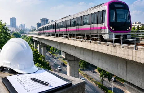
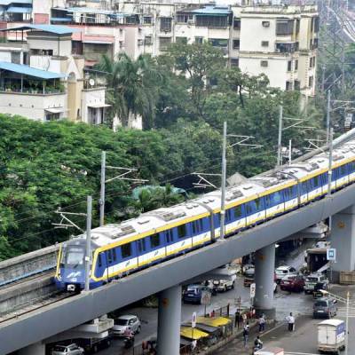
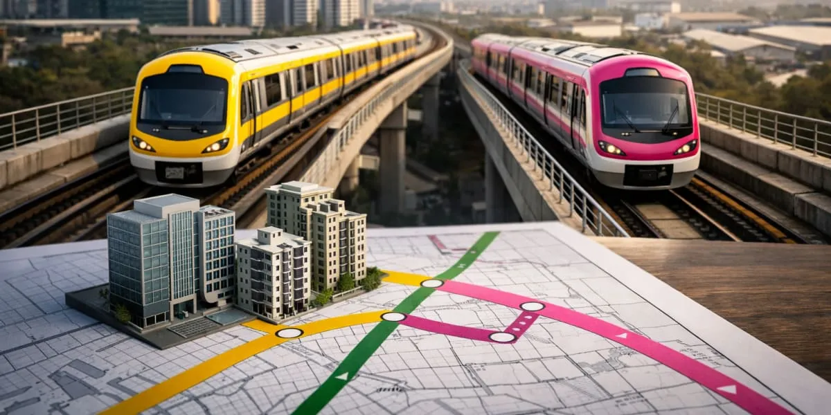
Bengaluru's expanding metro network is poised to reshape office and housing markets across the city. The network comprises five lines at various stages of development, several of which are due to become fully operational in the next few years. The Green and Purple lines, which run to key locations such as Whitefield, KR Puram, MG Road and Indiranagar, have already supported leasing and residential demand while also underpinning warehousing activity in industrial hubs near Hoskote and Nelamangala.

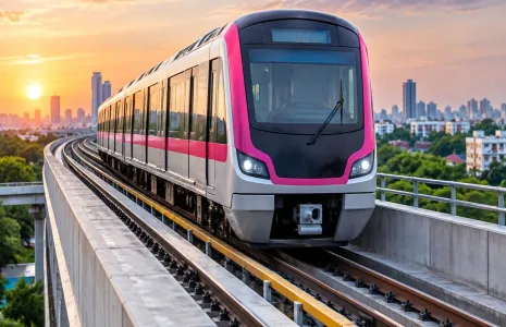
The Yellow Line became operational in 2025 and has improved connectivity to major employment hubs including Electronic City, Hosur Road and Bommasandra. The Pink Line is being opened in phases through 2026 and into early 2027 and is expected to ease congestion in central and southern corridors such as Bannerghatta Road, JP Nagar, Shivajinagar and Nagawara. Reduced travel times along these corridors are anticipated to strengthen access to both established commercial districts and emerging business clusters.

Market research firm Colliers India estimates cumulative new office demand of five to seven mn sq.ft across the catchment areas of the Yellow and Pink lines over the next two years. The firm also anticipates fresh office supply at a comparable level, which would take total Grade A office stock in those markets to nearly 40 mn sq.ft by 2027. Average office rentals in affected locations are projected to increase five to ten per cent as occupiers seek higher quality space with improved commutes.

The likely outcome is a redistribution of occupier interest from congested corridors towards nodes with enhanced metro access, while peripheral locations such as Electronic City may see continued momentum. Developers are expected to respond with targeted Grade A schemes and investors may reassess allocations to reflect changing micro market dynamics. Colliers' office services leadership indicated that the metro expansion is set to boost uptake across central, secondary and peripheral business districts and to influence residential demand tied to commuting patterns.

Bengaluru's expanding metro network is poised to reshape office and housing markets across the city. The network comprises five lines at various stages of development, several of which are due to become fully operational in the next few years. The Green and Purple lines, which run to key locations such as Whitefield, KR Puram, MG Road and Indiranagar, have already supported leasing and residential demand while also underpinning warehousing activity in industrial hubs near Hoskote and Nelamangala. The Yellow Line became operational in 2025 and has improved connectivity to major employment hubs including Electronic City, Hosur Road and Bommasandra. The Pink Line is being opened in phases through 2026 and into early 2027 and is expected to ease congestion in central and southern corridors such as Bannerghatta Road, JP Nagar, Shivajinagar and Nagawara. Reduced travel times along these corridors are anticipated to strengthen access to both established commercial districts and emerging business clusters. Market research firm Colliers India estimates cumulative new office demand of five to seven mn sq.ft across the catchment areas of the Yellow and Pink lines over the next two years. The firm also anticipates fresh office supply at a comparable level, which would take total Grade A office stock in those markets to nearly 40 mn sq.ft by 2027. Average office rentals in affected locations are projected to increase five to ten per cent as occupiers seek higher quality space with improved commutes. The likely outcome is a redistribution of occupier interest from congested corridors towards nodes with enhanced metro access, while peripheral locations such as Electronic City may see continued momentum. Developers are expected to respond with targeted Grade A schemes and investors may reassess allocations to reflect changing micro market dynamics. Colliers' office services leadership indicated that the metro expansion is set to boost uptake across central, secondary and peripheral business districts and to influence residential demand tied to commuting patterns.

Next Story
Infrastructure Transport

MMRDA Removes 1.14 lakh m of Metro Barricades

In a bid to ease congestion and improve urban mobility during monsoon, MMRDA has undertaken one of the largest coordinated barricade removal and monsoon preparedness drives across its ongoing metro and infrastructure projects.With substantial progress achieved in viaduct and structural works across multiple metro corridors, barricades from completed stretches beneath metro viaducts are being systematically removed, restoring maximum possible road space before the monsoon. Wider carriageways across key arterial roads are expected to improve traffic flow, reduce congestion, support better rainwa..

Next Story
Infrastructure Transport

Pune Division to Remove All Diamond Crossings by Year-End

The Pune railway division has announced plans to remove all 16 diamond crossings by the end of 2026 as part of a major yard remodelling project following the derailment of a Vande Bharat Express at Pune Junction on April 27. Railway authorities said the replacements aim to improve safety and streamline train operations across the busy station. The decision followed a Central Railway finding that the accident involved a non-standard diamond crossing and highlighted the need for replacement. Regular maintenance of existing crossings will continue until the replacement work is completed. Official..

Next Story
Infrastructure Urban

Goa Declares 80 Million Square Metres No Development Zone

The Goa state government has declared 80 million square metres (mn) of land a no development zone, designating the area as protected from new construction. The notification reclassifies tracts across the state under a no development category for planning and regulatory purposes. The declaration signals a formal halt to new building permits within the defined zone. Authorities indicated that maps will be issued to show broad boundaries while detailed surveys will refine precise limits. The move transfers responsibility for enforcement to local planning authorities and relevant departments, whic..

Advertisement

Subscribe to Our Newsletter

Get daily newsletters around different themes from Construction world.

STAY CONNECTED

Advertisement

Advertisement

Advertisement