Noida's Power Department Ditches Flawed RF Surveys
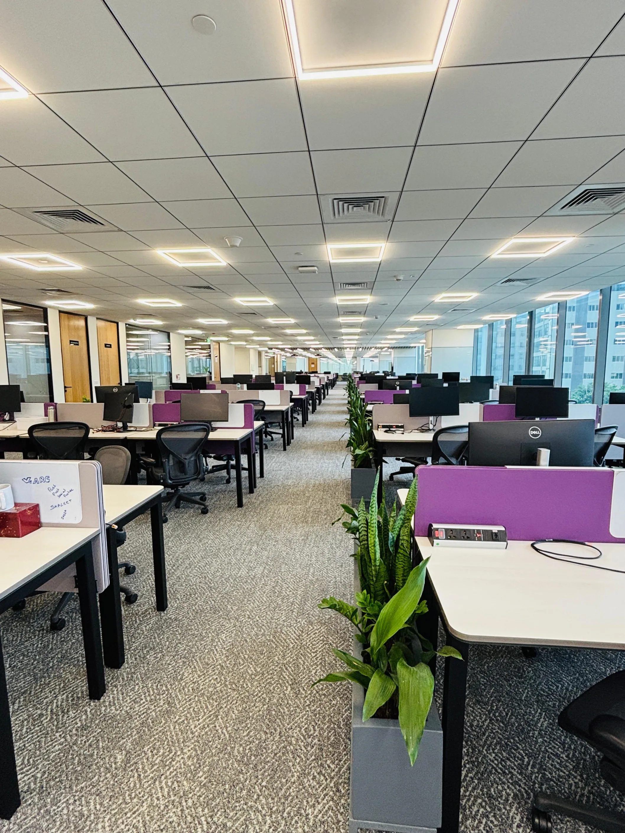
VeARC leases 27,000 sq ft office space in Bengaluru
VeARC India has leased approximately 27,000 sq ft of office space at The Executive Centre's (TEC) Helios Business Park on Outer Ring Road (ORR), Bengaluru, to support the expansion of its Global Capability Centre (GCC) operations.The new workspace accommodates more than 450 workstations and is intended to support the company's growing workforce in India. VeARC India serves as the Global Capability Centre for Long Arc Capital.Located on Bengaluru's Outer Ring Road, the office provides access to one of the city's key technology and business corridors. The expansion comes amid continued growth in..

Bharat Shah Family Buys Four Luxury Apartments In Worli For Rs1.8 bn
The family of veteran investor Bharat Shah has acquired four ultra-luxury apartments on the higher floors of Kalpataru One in Worli, South Mumbai, for Rs1.8 billion (bn). The purchases were registered on 6 July 2026 and were executed through Preeti Bharat Shah and Kinnari Bharat Shah, who bought the flats from Kalpataru Properties Limited. Property registration documents reviewed by Zapkey show the total consideration at Rs1.7941 billion. The transactions recorded a per square foot RERA carpet price of Rs0.101 million (mn), with each apartment valued at about Rs448.5 million. The four residenc..

NITI Aayog Consultation On Critical Mineral Supply Chains
NITI Aayog convened a stakeholder consultation in New Delhi on Wednesday to assess requirements for critical minerals across strategic sectors, bringing together experts from government, research institutions, academia and industry. The meeting aimed to estimate current and future demand, identify supply chain vulnerabilities and discuss measures to strengthen domestic capabilities in exploration, processing and recycling. The exercise formed part of broader efforts to secure mineral value chains essential for economic growth, technological advancement and national security.\n\nDiscussions con..
Latest Updates