Govt approves sub-scheme on GIS-based Master Plan for AMRUT cities
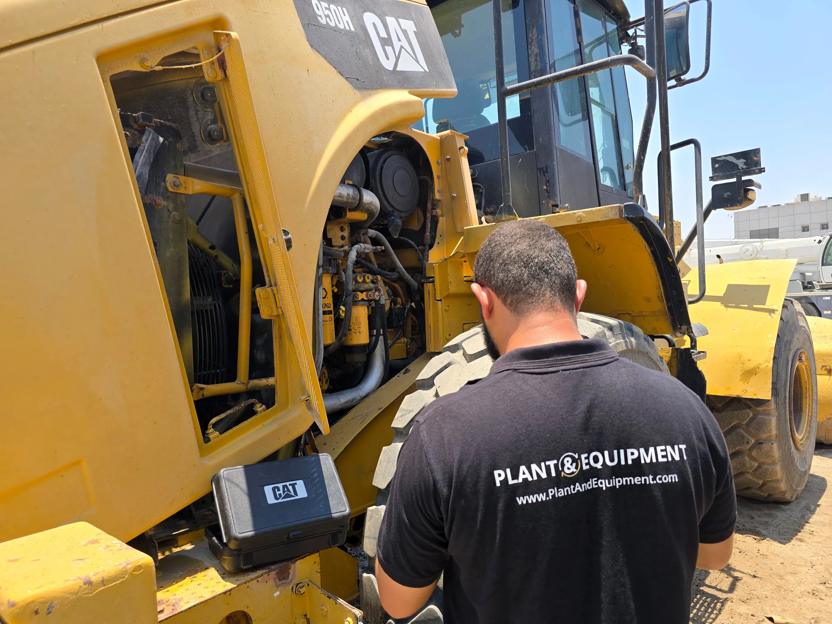
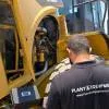
Plant & Equipment Secures Funding to Expand Auction Business
Plant & Equipment (P&E), a global heavy equipment marketplace, has secured asset-backed financing to accelerate the growth of P&E Auctions, its auction business serving buyers and sellers across the Middle East, Africa and other international markets.The investment will be used to acquire physically inspected construction equipment, lifting machinery and commercial vehicles, enabling the company to provide minimum guarantees on assets sold through its auction platform.Launched in December 2023, P&E Auctions has expanded rapidly following the success of the company's online mark..
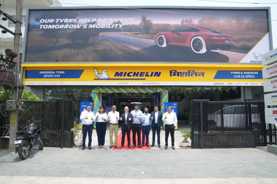
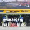
Michelin Opens Two New Retail Service Centres in North India
Michelin India has expanded its retail network in North India with the launch of two new Michelin Tyres & Services (MTS) stores in Amritsar and Panchkula. Opened in partnership with National Auto and Universal Tyres, respectively, the new outlets aim to strengthen the company's presence in one of India's fastest-growing automotive markets.Located on Loharka Road in Amritsar and in the Industrial Area of Panchkula, each 5,000-sq-ft facility offers Michelin's range of passenger car and two-wheeler tyres, including the Primacy, Pilot Sport, Latitude Sport and LTX Trail series. The centres als..

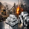
IHC and Adani to Invest US$11.5 bn in Odisha Aluminium Project
Abu Dhabi's International Holding Company (IHC) will invest US$11.5 bn in an integrated aluminium project in the eastern Indian state of Odisha in a joint venture with the Adani Group, a state official said. The official said the announcement represented the country's largest foreign investment in mining and metallurgy. Officials said the venture would span both mining and metallurgical activities across several facilities in the state. The project has been described as integrated, encompassing upstream bauxite extraction and downstream smelting and metallurgy, and is intended to develop a com..
Latest Updates