
Vice-President Backs Global Unity at IN-STEP 2025
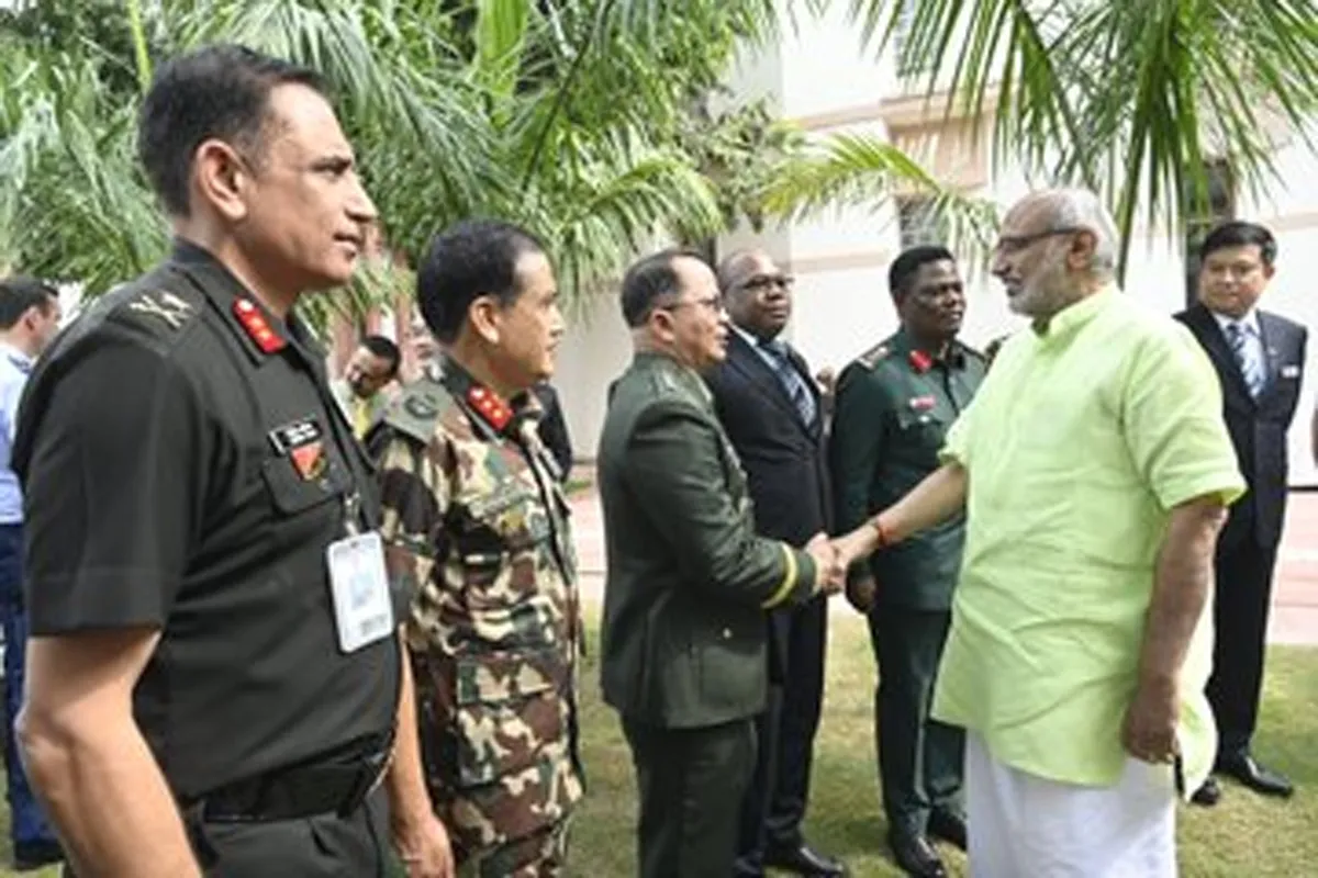
Vice-President of India, Shri C. P. Radhakrishnan, addressed delegates at the 3rd edition of the International Strategic Engagement Programme (IN-STEP) held at the Vice-President’s Enclave in New Delhi. IN-STEP serves as a key dialogue platform for senior national security officers from India and friendly foreign nations. The current edition hosts 44 delegates, including 32 international participants representing 24 Global South countries. Commending the joint efforts of the National Defence College, National Security Council Secretariat, Ministry of External Affairs, and Ministry of Defen..

India to Host Global Maritime Events in Visakhapatnam
India will host three major international maritime events in February 2026 at Visakhapatnam — the International Fleet Review (IFR) 2026, Exercise MILAN 2026, and the Indian Ocean Naval Symposium (IONS) Conclave of Chiefs. Scheduled from 15 to 25 February 2026, this marks the first time India will conduct all three significant maritime gatherings simultaneously. The events embody Prime Minister Shri Narendra Modi’s MAHASAGAR vision — Mutual and Holistic Advancement for Security and Growth Across Regions — announced in 2025. The MAHASAGAR framework extends India’s SAGAR (Security and ..

Heavy Industries Ministry Frees 4.4 Million Sq Ft Under SCDPM 5.0
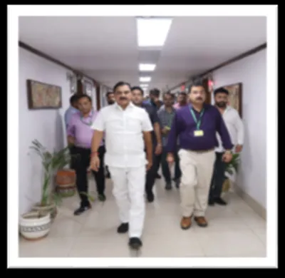
Inspired by the Prime Minister’s vision to institutionalise Swachhata and clear long-pending matters, the Ministry of Heavy Industries (MHI), along with its Central Public Sector Enterprises (CPSEs) and Autonomous Bodies (ABs), actively participated in the fifth consecutive year of the Special Campaign for Disposal of Pending Matters (SCDPM) 5.0, held from 2 to 31 October 2025. Throughout the campaign, MHI worked closely with the Department of Administrative Reforms and Public Grievances, reporting daily progress on a dedicated monitoring portal. Shri Bhupathi Raju Srinivasa Varma, Minister..


