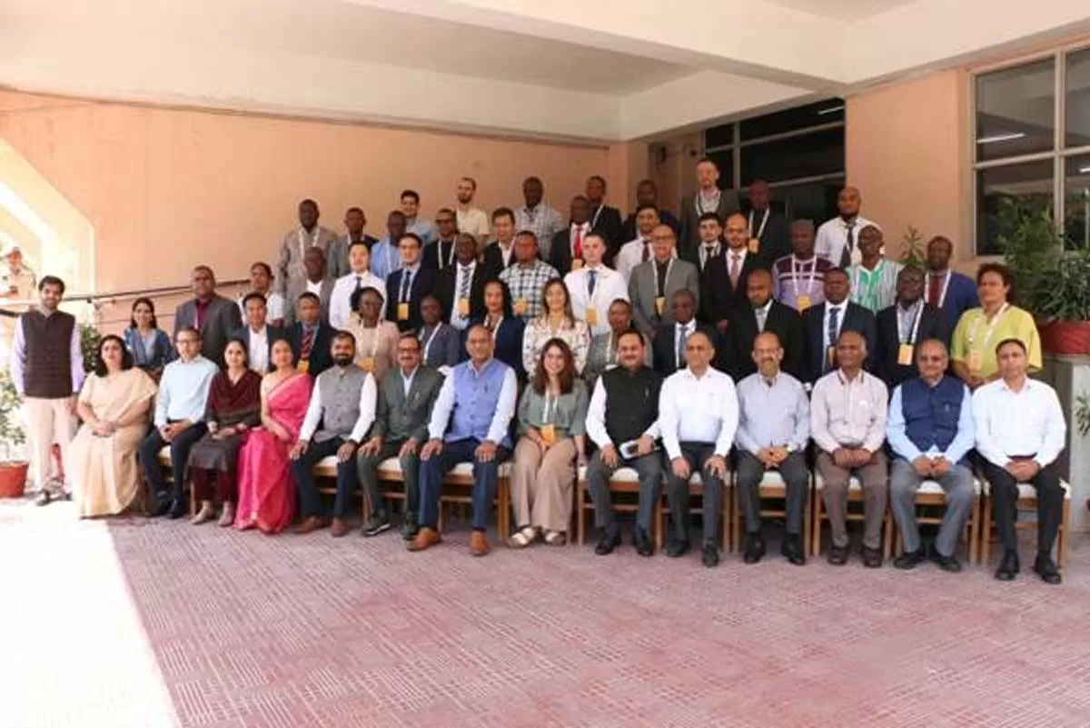
In a significant milestone, the Ministry of Panchayati Raj (MoPR) inaugurated the first-of-its-kind International Workshop on Land Governance at the Haryana Institute of Public Administration (HIPA) in Gurugram. This six-day workshop, organised in collaboration with the Ministry of External Affairs under the Indian Technical and Economic Cooperation (ITEC) programme, brings together more than 40 senior officials from 22 countries across Africa, Latin America, and South-East Asia to explore innovative approaches for addressing global land governance challenges. The inaugural session witnessed distinguished participation from senior officials, including Sushil Kumar Lohani, Additional Secretary, Ministry of Panchayati Raj; Viraj Singh, Additional Secretary, Ministry of External Affairs; Alok Prem Nagar, Joint Secretary, Ministry of Panchayati Raj; and Ramesh Chander Bidhan, Director General, Haryana Institute of Public Administration. This landmark initiative strongly aligns with the vision of Hon’ble Prime Minister Shri Narendra Modi to transform rural India through technological innovation and securing land rights.
In his address, Sushil Kumar Lohani, Additional Secretary, Ministry of Panchayati Raj, articulated the vision behind SVAMITVA and its potential for global replication, offering valuable insights into policy advancements and India's strategic vision for land governance. “SVAMITVA represents more than just a land mapping exercise; it is a comprehensive approach towards rural empowerment through secure property rights”, Shri Lohani stated. He said “With over 3.17 lakh villages mapped across 67,000 sq. km, representing an estimated asset base of Rs.132 lakh crore, we have demonstrated the scalability and impact of this model. We are eager to share our experiences and learn from our international partners to collectively advance land governance worldwide”. Shri Lohani emphasized upon the transformative role of geospatial technologies in land governance, underlining the technical expertise that has made SVAMITVA one of the world’s largest rural mapping initiatives. He said, “The integration of drone technology with traditional surveying methods has revolutionized our approach to mapping rural inhabited areas, delivering unprecedented accuracy and efficiency”.
Addressing the International Workshop, Viraj Singh, Additional Secretary, Ministry of External Affairs, emphasized upon the diplomatic significance of the workshop. Singh said “This initiative exemplifies India’s commitment to South-South Cooperation and knowledge sharing. By bringing together nations facing similar challenges, we are fostering a collaborative approach towards addressing land governance issues globally.” He also highlighted the role of the ITEC programme in facilitating international cooperation and the role of collaboration with the Ministry of Panchayati Raj in advancing ITEC’s objectives.
Alok Prem Nagar, Joint Secretary, Ministry of Panchayati Raj, said that the SVAMITVA Scheme exemplifies how innovative approaches can transform rural communities by securing property rights and unlocking economic potential. “SVAMITVA demonstrates how innovative approaches to land governance can directly contribute to achieving Sustainable Development Goals related to poverty reduction, secure land tenure, and sustainable land use” he said. Shri Smit Shah, President of the Drone Federation of India, provided insights into India’s rapidly evolving drone ecosystem, highlighting how policy reforms and technological advancements have positioned India as a leader in drone-based solutions for land governance.
A major highlight of the inaugural day was the cutting-edge exhibition that highlighted the latest advancements in land governance, digital cadastral systems, and geospatial technologies. The event showcased a wide range of technological solutions, from precision drone mapping and 3D geospatial data analytics to integrated land administration systems. The exhibition also spotlighted high-precision surveying equipment and comprehensive GIS applications designed to enhance land governance. Local innovations in drone technology and UAV-based land administration solutions were prominently featured, alongside contributions from government bodies that demonstrated survey-grade drones, CORS & Rover systems, and other transformative tools. Attendees had the opportunity to engage in hands-on demonstrations of drone flight planning, data processing techniques, and real-time, high-accuracy surveying capabilities, offering a comprehensive look at the future of land management.