For two Bengaluru-based engineers and college mates, Mughilan Thiru Ramasamy and Mrinal Pai, aerospace was a shared passion. And thereon, they embarked upon a journey from making better drones to building drone-based solutions for the better. In 2014, they established Skylark Drones, among the pioneers in designing and deploying drone solutions for enterprises that use drone data to help plan, build, and sustain assets by reducing operational costs, saving time, and increasing revenue. In the present day, companies using these solutions include TATA Steel, BOSCH, L&T, UltraTech, Syngenta, CleanMax Energy, Vedanta, Shapoorji Pallonji and Alstom. Mrinal Pai, Co-Founder, Skylark Drones, shares more on the usage and benefits of drones….
Why drones?
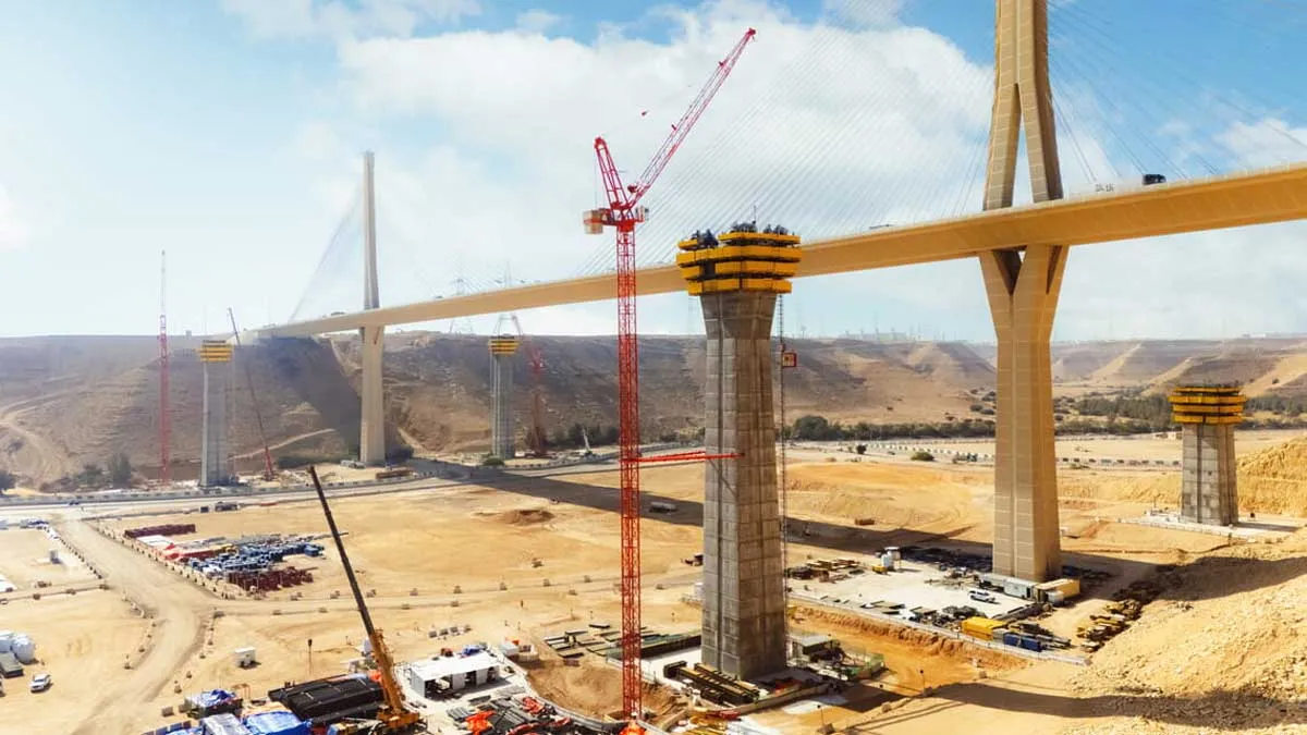
A recent IIT Delhi study reveals that National Highways comprise about 15 per cent of the total length of roads in India—and account for 33 per cent of fatalities. The National Highways Authority of India (NHAI) has been trying to operationalise the usage of drones for the past couple of years. The authority had empanelled a couple of drone vendors, which they are now revamping again. There are close to 3,000 km of highways and multiple zones. However, there needs to be a timely check on status and encroachments, because many highways need widening. This is where the role of a drone comes in. One drone can do 100-odd km a day of video monitoring and give you the status and news of encroachments at a faster pace. It can monitor construction and update if work is lagging behind. Private companies have realised that the usage of a drone is not just about collecting data but making the data even more useful. The usage of drones can be divided into pre-construction, construction and post-construction across various sectors such as solar, mining, and transport infrastructure.
Pre-construction
The pre-construction usage includes topography and contour mapping. Secondly, we have seen solar companies deploying hydrology studies, especially during instances of flooding. Based on soil data, past data and topography, an estimate can be made as to where the runoff will happen, and in what proportion per day. We also have a high-density data point for accuracy in mapping the land. With a drone, you have 2 cm per picture. So while a satellite image or Google image is 10 m resolution, a drone is 2 cm, which is high-resolution data and like 3D. In solar projects, shadow analysis is taken based on the geographies, specifically the sun’s movement or what output it can have.
During construction
The usage of drones in construction is specific to various verticals. Skylark Drones is largely involved in the space of solar construction. Here, there are multiple phases of construction and vendor management is critical. There are multiple EPC companies working on a given site and there are large numbers of poles, say to the tune of tens of thousands. Most projects lack real data on where the delay is happening—this is where solutions built by Skylark Drones come in. In terms of user profiles, the management team demands large reports, and the site engineer gets the details. While the engineers focus on aggregate and volumes, the management wants an overall budget and status. They want to know how many cubic metres have gone from that aggregate as well, as all of this is captured in 3D. So, the usage of drone again depends on the stage of construction. Our company customises it for each vertical and we are very focused on how solar construction is done.
Post-construction
Drones are also used in O&M activities that happen in thermography inspections. Taking the example of solar construction, today even the SCADA systems of digital mechanisms do not point out the particular panel or cell. So knowing the defect and what causes it is difficult. The major role that drones play post-construction is in the area of defect and anomaly detection, and what causes it. The benefit is that through drones we have visual data; hence, a correlation can be drawn to the causes. We do it for cell towers and other vertical assets such as power lines where there is no present asset data.
The advantages
The productivity involved in using drones can be measured right from acquiring data and understanding the ground reality all the way to the manager for his ability to understand what is happening across the entire project. So drones and drone data help cut down the time spent in every phase in the value chain. The other aspect is reach. With a drone, one can understand the area of interest faster and give the engineers a bird’s-eye view of what is happening across the entire site. Similarly, a manger can monitor not just one but multiple sites in tandem, and understand the entire portfolio and how the entire vertical is performing. The next aspect is security, wherein people now do not have to go into dangerous mining areas for inspection as it can all be done with a drone.
The cost factor
Compared to manual data, the use of a drone results in one-tenth of time savings and 50 per cent of cost savings. As the Indian market is largely cost-sensitive, whatever drone activity we are seeing today is because it is fundamentally cheaper. However, the problem is that while the commercial drone market is expected to grow by a few billions of dollars, it has still not grown at the expected pace. People involved in more drone activities are realising that this has to be served to the industry specifically and that it is not just a technology that delivers results at the surface level.
Growth, going forward
Globally, reports indicate that the usage of drones in the commercial industry has seen a 239 per cent growth. And they are predicting manifold growth in the next 10 years in the Indian market as well. However, at our end, we certainly do not see such an outcome because as of now the growth has been hesitant. It has simply not penetrated the market. There have been some initial apprehensions in adopting drone technology in India. The management is, of course, sold on the drone in the first instance as it provides transparent data, which they otherwise lack. So, at the construction management level or beyond, this is definitely a requirement. However, the resistance to its usage is at the ground level. But we are not taking away anybody’s job! Our model is designed in a way that one can be a drone pilot within a week. This is enabling multiple smaller services companies to start up right; these generally consist of people who do manual surveys or construction teams within these companies who are now starting the drone flying service. The model is easier to adopt.- --SHRIYAL SETHUMADHAVAN