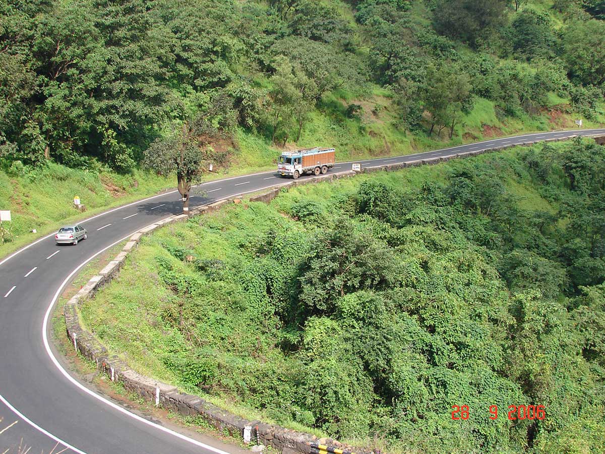
Delhi PWD Initiates 3D laser mapping for road assessment
ROADS & HIGHWAYS

Delhi PWD Initiates 3D laser mapping for road assessment

Delhi's Public Works Department (PWD) is set to embark on a comprehensive road assessment project using three-dimensional laser mapping to evaluate the condition of its 1,440km arterial road network. This initiative aims to create a digital inventory of arterial roads and footpaths managed by the PWD, aiding in the identification of damaged or defective sections. The project is anticipated to take 90 days to complete at an estimated cost of Rs 111 million.

Roads wider than 60ft fall under the jurisdiction of the PWD, while narrower roads, primarily internal colony roads, are overseen by the Municipal Corporation of Delhi (MCD).

The PWD will employ advanced "network survey vehicles" provided by private agencies for the survey. These vehicles are equipped with 3D laser imaging, global positioning system (GPS), and video image capturing tools to automatically collect information regarding road conditions, pavement quality, topography, cracks, and damaged sections. This data will enable the creation of a digital map highlighting various types of damages and defects using different colours.

The PWD plans to utilise two such vehicles for the survey, resulting in two inventories: one for roads and another for pavements. The data collected will serve as the foundation for the PWD's ambitious Rs 19.46 billion road improvement project, as announced in the Delhi government's annual budget.

Experts have lauded this database creation initiative and stressed the importance of regular surveys and updates, especially for parameters like road stress, potholes, and cracks. They suggest conducting such surveys every one or two years, particularly after the monsoon season, to keep the database current and aid in future urban planning and maintenance efforts.

Delhi's Public Works Department (PWD) is set to embark on a comprehensive road assessment project using three-dimensional laser mapping to evaluate the condition of its 1,440km arterial road network. This initiative aims to create a digital inventory of arterial roads and footpaths managed by the PWD, aiding in the identification of damaged or defective sections. The project is anticipated to take 90 days to complete at an estimated cost of Rs 111 million. Roads wider than 60ft fall under the jurisdiction of the PWD, while narrower roads, primarily internal colony roads, are overseen by the Municipal Corporation of Delhi (MCD). The PWD will employ advanced network survey vehicles provided by private agencies for the survey. These vehicles are equipped with 3D laser imaging, global positioning system (GPS), and video image capturing tools to automatically collect information regarding road conditions, pavement quality, topography, cracks, and damaged sections. This data will enable the creation of a digital map highlighting various types of damages and defects using different colours. The PWD plans to utilise two such vehicles for the survey, resulting in two inventories: one for roads and another for pavements. The data collected will serve as the foundation for the PWD's ambitious Rs 19.46 billion road improvement project, as announced in the Delhi government's annual budget. Experts have lauded this database creation initiative and stressed the importance of regular surveys and updates, especially for parameters like road stress, potholes, and cracks. They suggest conducting such surveys every one or two years, particularly after the monsoon season, to keep the database current and aid in future urban planning and maintenance efforts.

Next Story
Infrastructure Transport

NHAI to Build 6-Lane Agra-Gwalior Expressway on BOT (Toll) Mode

To enhance connectivity between the tourism hubs of Agra and Gwalior, National Highways Authority of India (NHAI) will develop 88 km long 6-lane access controlled Agra-Gwalior Greenfield Expressway (NH-719D). NHAI, today signed a concession agreement for the implementation of project with GR Infraprojects, in presence of NHAI Chairman, Santosh Kumar Yadav and senior officials of NHAI and the Concessionaire. The Agra-Gwalior Greenfield Expressway will start from Deori village in Agra and terminate at Susera village in Gwalior. The project shall be developed at a Total Capital Cost of Rs 46.13 b..

Next Story
Infrastructure Transport

Cabinet Nods 166.8-km NH-6 Greenfield Corridor on HAM Mode

The Cabinet Committee on Economic Affairs chaired by the Prime Minister Narendra Modi has approved the proposal for Development, Maintenance and Management of 4-lane Greenfield Access Controlled 166.80 km of National Highway No. 06 from Mawlyngkhung (near Shillong) in Meghalaya to Panchgram (near Silchar) in Assam on Hybrid Annuity Mode as an access controlled greenfield High-Speed Corridor at a total capital cost of Rs 228.64 billion. The project length of 166.80 km lies in Meghalaya (144.80 km) and Assam (22.00 km). The proposed Greenfield high-speed corridor will improve the service level ..

Next Story
Infrastructure Urban

Commercial Ops Begin at Multi-Modal Logistics Park in Nagpur

Under the PM Gati Shakti initiative of Prime Minister with the aim to provide seamless and efficient connectivity for the movement of people, goods and services across various modes of transport, thereby enhancing last-mile connectivity and reducing travel time, and under the guidance of Union Minister of Road Transport and Highways, Nitin Gadkari, the Multi Modal Logistics Park, Nagpur (MMLP Nagpur) at Sindi, near Wardha commenced its commercial operations with a goal to establish a faster link. The MMLP Nagpur established by National Highway Logistics Management (NHLML), a 100 per cent own..

Advertisement

Advertisement

Subscribe to Our Newsletter

Get daily newsletters around different themes from Construction world.

STAY CONNECTED

Advertisement

Advertisement

Advertisement

Advertisement

Talk to us?