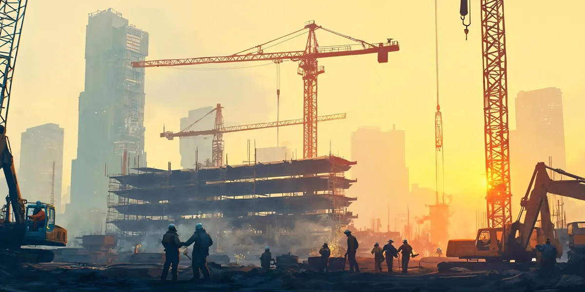
Cost and time overruns and arbitration or litigation are affecting on-time delivery of road projects, causing loss to the public exchequer. Factors that have maximum impact on time and cost overrun in road projects include field survey quality, quality of design reports, ineffective project management and monitoring, lack of collaboration between shareholders, lack of trained workforce and rework, among others.
According to RK Pandey, Member-Projects, National Highways Authority of India (NHAI), “Project management is crucial during the construction phase of a highway project.” There are many different levels where a decision has to be taken on project management: contractor, supervisor, independent engineers, the authority and so on. In several instances, these have been delegated to lower functionaries—the field unit—or the head office. Also, at times, an issue raised by the contractor lies pending with a third engineer or supervision consultant with nobody aware of it. “So while we do agree that ineffective project management is one of the reasons for time and cost overrun,” adds Pandey, “the question of project management also comes in because of a poor DPR. At NHAI, we have computerised all our manual processes. We are trying to improve project management by converting value processes with the use of technology and adoption of computerisation.”
In agreement, Dr NC Pal, Chief Engineer (Design Directorate) & Chief Engineer-cum-Chief Manager (Technical), State Procurement Cell, Government of Odisha, says, “Lack of collaboration between stakeholders is also a matter of concern. Many a time, inter-department coordination and collaboration between the Forest Department, Ministry of Environment and Forests, Revenue Department and other stakeholders during the planning or construction stage fail. This delays most of the land acquisition, utility shifting and diversion processes, and is another major reason why most projects get delayed.”
For his part, Hardik Agrawal, Director, Dineshchandra R Agrawal Infracon, says, “Ensuring a good quality field survey will result in more efficient project execution. If you are constructing or planning a design without knowing the actual location and site conditions, you will realise during the execution phase that certain changes with respect to right-of-way (RoW) acquisition need to be made. This would certainly lead to delays in the project.”
And Manoj Tipnis, Vice-President & Head - Engineering, L&T Transportation, points out, “In the industry’s experience, once the DPR and tender are out, there are many queries raised by bidders in which they have a better chance to study the DPR. Unfortunately, these queries are not substantially answered when the tender goes in. And once the project is rolled out, there are a number of disputes that lead to time and cost overruns.”
Citing his conversations with consultants, Kasturi Srinivas, Regional Director-Transportation, Bentley Systems, says, “They always say that the timeframe given for the design should be longer because when you see a project outside India, they do spend a lot of time in designing. But the feedback that I get for India is otherwise.”
Adopting digital tools
In terms of adopting digital tools and the associated return on investment (RoI), is there a hesitation—and where? Also, how can one get good value and precision by adopting these tools?
“Everyone wants to adopt a tool that makes it easier to do a task,” responds Agrawal. “There is no hesitation in wanting to adopt good quality-based and easy user interface software to manage various project phases such as design and the execution phase.” However, he adds that it should not be restricted to four or five companies. To bring it down to a larger base, the cost of such software and cost of skilled manpower needs to be greatly reduced. And the availability of such skilling must be increased. “If the cost of licensing and acquisition of such hardware as well as efficient software is structured to meet the working cost of all three sets of contracting basis—small, medium and large—there will be much faster throughput of utilising such software,” he adds.
While cost could be a critical aspect in digital adoption, one challenge Tipnis points to is adapting technology and engineering digitalisation. “If one were to see what digitalisation in engineering is, it is mainly software,” he says. “The next step is to actually have digital tools to execute good quality design and expedite it. Also, when we speak of advancing from 3D to 4D and 5D, project timelines are so stringent that there is hardly any time for the people and officials involved to absorb the technology. So training becomes important; if that is bridged, we are on our way to digitalise the complete construction process.”
How is technology playing a role in enabling NHAI to monitor and maintain cost and deliver projects on time?
Pandey divides the life of a project into four stages: conceptualisation; design and project preparation; construction; and operation. “While the entire industry cannot be transformed in one single stroke, adoption of technology is a compulsion as well,” he says as he elaborates:
Conceptualisation: Constructing 30 km a day without adopting technology is going to be a tough task. So we started adopting technology in various phases, keeping in view what we can do easily. For instance, when we conceptualised the National Highways Development Programme (NHDP), the whole source of data was the availability of traffic data on existing corridors. The NHDP programme has been developed in seven phases covering 50,000 km, and we only developed roads along existing alignments. But when we conceptualised Bharatmala, I had data from 600 districts of the country. This gives me an idea about what kind of commodity is originating in one place and where it is destined. This changes my whole philosophy and, in Bharatmala, we have not gone along existing highways. We have taken the state and gone by the shortest distance. Thus, the availability of data and capability to analyse it have changed my whole perception, particularly in conceptualising the project. This is where we are using technology in a big way.
Project preparation: Here, we have limited time. To speed up processes and get accurate results, we introduced LiDAR (light detection and ranging) technology. Now, as part of project preparation, it is mandatory for consultants to have LiDAR to carry out their activities.
Construction phase: We have not done much here. Except that whatever we were doing manually, we now do on computers so that we can set alerts. But here, someone has to feed the data. I have to handle 1,000 projects every day and more than 50,000 items. Hence, what we require is an automated system.
Operation stage: We have achieved a major breakthrough. The aim is to assure users that whatever performance the contractor or concessionaire has committed to in a contract document is being adhered to. We capture the entire data, which brings in accuracy. Also, the data can be further transferred into different formats; it is fed easily. We have moved to the use of a network survey vehicle and have made it mandatory for consultants.
So, how can these technologies be introduced to help achieve the ultimate goal?
Pandey replies, “We have introduced these in project preparation and operation for a simple reason because, there, I have a choice and my selection of consultant is on the basis of QCBS [quality and cost-based selection].” As for the concessionaire and contractors, the authority is in consultation. “While technology adoption will not happen in one go, the next time we may request our concessioner and contractor to fit in sensors that will give me the kind of quality being executed. We are in touch with a number of technology providers for the same.”
For its part, how is the Odisha government managing and controlling project visibility?
Dr Pal clarifies, “First, let’s not confuse technology and digital platform as one. Technology means what exactly I am using when I am doing a field survey. Digital transformation is where I may be sitting in my chamber and able to see real-time data through web interface or certain web-linking procedures.” In Odisha, he adds, “For several projects, we created various online platforms through certain software developers—one for asset management and other tools that we have integrated completely on a network basis.”
In a greenfield project, the quality of survey and requirement is completely different compared to working on an existing road. On an existing road, one needs to capture the available features, the number of utilities, forest zones and trees present. Capturing all this manually leads to delays in the survey. However, a network survey vehicle can speed up the process with more authenticated data. “In Odisha, we implemented asset management in 2013 onwards and have been using the network survey vehicle,” says Dr Pal. “The complete alignment is captured by the network survey vehicle and it is transformed through my digital platform with satellite image and schematic mapping.” This is how technology at the field is being transferred to real time through a digital platform. “I have my own servers because it is huge data capturing and I should have the IT infrastructure in my office fully available and sustainable,” he shares further. “In Odisha, we have our own server and our own technology team who only analyse the particular part of that work. This also helps in rendering a good quality DPR, because once the alignment is frozen I can capture my land requirement and the utility within the proposed RoW. If your planning is perfect, execution will be within the scheduled time.”
“We also have an online platform, e-Nirman, where we track the physical and financial progress of each project,” Dr Pal continues. “Our engineer has to upload progress data on a daily basis. The entire payment, too, goes through a digital platform. e-Nirman is integrated with the Orissa Road Asset Management Data Centre. These are all now integrated with the contractor database management system (CDMS). This helps us analyse the bid capacity of the bidder. But before, and even to manage the asset, we use the network survey vehicle with laser profile or camera sensors and real-time data is transferred to headquarters where we analyse and make a decision.” This is how Odisha has been successful in completing most projects on time.
Tackling arbitration and litigation
Time and cost overruns are also affected by arbitration and litigations, which need to be addressed as well.
“The authority’s inability to procure land can lead to time and cost overruns and no technology can help in this case,” Pandey points out. “The only decision I would like to take is that I will not award the work until and unless I have land. That is a decision we have already taken. Technology can only help me in pushing my land acquisition process.” He elaborates with an example: Earlier, there was a manual system where the competent authority would prepare the notification and it would go to the minister; this used to take two months. “Now, we have a portal where all of this is uploaded. At the end of the month, you will find how much time has been taken, and by whom.”
“Odisha has gone on the same line as NHAI now,” says Dr Pal. “Unless we have 80-90 per cent of land available, we are not awarding the work.” When asked whether time and cost issues will come down because of this, he responds, “It will, provided there is good supervision and project management. Even if we hand over 90 per cent of land and the agency on the other side has not got the work done, has other parallel work, and the project is poorly supervised and managed, this would also lead to overruns.” He adds that arbitration and litigation issues can be minimised once you have got the land as there would be very little for people to have an issue with.
However, on the collaborative platform, are there abilities for signoffs for various stakeholders for maximum clarity on what is expected and what is to be delivered?
Srinivas replies, “The collaboration platform is bringing in proactiveness in different stakeholders.” It will make trustable information available in time and simultaneously allows people to collaborate and coordinate, especially over simple tools. “One can use a browser, open a model and check and validate it as good or bad and get feedback from the ground,” he adds. “And the platform is definitely pretty much geared to handle all the issues in delivering projects and can also be adopted for OEM processes as well.”
Step-by-step approach to digital transformation
Undoubtedly, while everyone has to adopt to digital transformation, somebody will have to take the lead. “The authority is always in a better position to take that lead,” says Pandey. “The authority should consult with technology providers to ensure we have a framework of what is required and the minimum requirement from everyone. In fact, we have already started this process. Once we have it, we will prepare a minimum framework, which we would like to share with all stakeholders. It is then for the technology providers to explain the benefits to the contractors, concessioner and consultant.”
Ultimately, any technology will find place in the market when it is beneficial to stakeholders.
- SHRIYAL SETHUMADHAVAN
(Collated from views shared in a CW online panel discussion on ‘Leveraging Technology for Collaboration and Control in Road & Highway Projects’. Link to the panel discussion: https://youtu.be/1oun6B30hRo)
Image courtesy: rhumbix


