
UP To Prepare GIS-Based Master Plans for 93 Tier II Towns
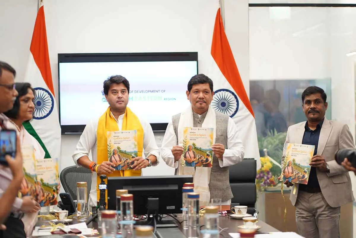
Meghalaya Launches Rs 1.75 Billion Mission for Lakadong Turmeric
Meghalaya has launched Mission Golden Spice: Integrated Lakadong Turmeric Value Chain Enhancement Project, marking a major step towards establishing the state as a global centre for premium, organic and GI-tagged Lakadong turmeric.Launched at Sanchar Bhavan in New Delhi, the initiative aims to transform Meghalaya’s agricultural sector by moving farmers from traditional commodity production towards a value-driven, entrepreneurship-led ecosystem. Through a Community-Public-Private Partnership (CPPP) model, the project focuses on strengthening processing capabilities, improving market access an..

Staunch Electronics Expands EMS Capabilities Amid India’s Manufacturing Growth
Staunch Electronics India, an Electronics Manufacturing Services (EMS), Original Equipment Manufacturer (OEM), and Original Design Manufacturer (ODM), is strengthening its presence in India’s growing electronics manufacturing ecosystem through its focus on manufacturing excellence, innovation, and customer-centric partnerships.Founded in 2014, Staunch Electronics India has built over a decade of manufacturing expertise, providing electronic manufacturing solutions across multiple industries. The company offers integrated EMS, OEM, and ODM services covering product engineering, design support..

Dreamfly plans 200 MWh drone battery facility
Dreamfly Innovations has announced plans to establish a 40,000 sq ft aviation battery manufacturing facility in North Bengaluru with an initial annual capacity of 100 MWh, scalable to 200 MWh.The facility will produce advanced batteries for defence, surveillance, inspection, agricultural spraying, logistics and emerging air mobility platforms such as air taxis. The company said the project would strengthen India’s domestic drone supply chain by expanding local production of a critical unmanned aerial system component.Dreamfly currently reports indigenous content of 77% in its products. The c..
Latest Updates