
Cost intelligence will become a strategic contributor to project success
As India's construction industry accelerates its digital transformation, integrated platforms, AI and connected data are becoming essential to improving cost certainty, project efficiency and sustainability. Ravi Kumar, Sales Director – India, RIB Software India, shares how digital workflows are reshaping project planning, commercial management and decision-making across the construction value chain.India's construction sector is embracing digital technologies at an unprecedented pace. From your perspective, what are the biggest shifts driving this transformation and how is RIB Software enab..

Twin Tracks
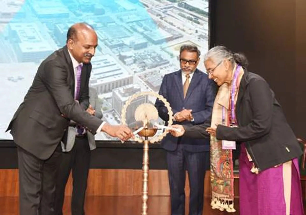
Digital-twin adoption in India’s rail sector is gradually making its presence felt across asset management, infrastructure planning, predictive maintenance, construction monitoring and operator training.While large-scale deployments of digital twins are still evolving, Nipun Dumpala, a Senior Technical Lead specialising in digital twins, synthetic data, simulation and mixed reality technologies, points out that several organisations are exploring BIM-integrated digital twins, IoT-enabled monitoring, AI-based analytics and simulation platforms to improve operational efficiency and reduce life..
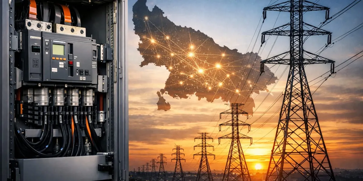
Centre Clears Power Distribution Upgrade for Uttar Pradesh
The Central Government has approved power distribution projects worth Rs 407.39 billion for Uttar Pradesh under the Revamped Distribution Sector Scheme (RDSS). The investment will be used to modernise the state's electricity distribution infrastructure and strengthen network capacity across urban and rural areas. The package targets one of the country's largest distribution networks as the state experiences rapid urbanisation and rising electricity consumption. Planned interventions include the strengthening of distribution lines, modernisation of substations, replacement of ageing electrical ..
Latest Updates