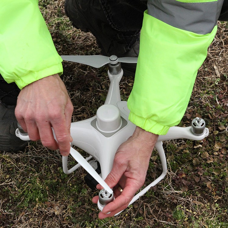
Drones: A valuable tool for the construction jobsite
Orthomosaics

“Orthos” are made by collecting hundreds of photos in a pre planned flight pattern and altitude. Then, the existing images are stitched together into one high resolution image. These very high resolution images offer a high level look at the entire site without having to leave the workspace. Benefits include:
-
Import capability into industry software such as BIM, GIS and CAD for more advanced oversight and
- Foundation documentations such as pre-pour certification of what’s inside slabs, the quality of rebar installs and post-tensioning cables;
- Façade/structure inspections with no scaffolding and crane inspections with no lock-out/tag-out; and
- Landscaping insight on water reach, drainage, final grading and landscape features along with documenting “As Built” conditions before handoff.
Volume calculations

Volume calculations give a fast and simple way to measure how much dirt or material is in each pile keeping inventory and off-haul costs accurate. Earthpile volumes and stockpile counts can be calculated with no ground control or benchmarks simply by using parallax, or the offset between photos of the same image in Orthomosaics. Most stitching software can calculate volumes automatically; contractors should make sure theirs is among those that does.
Overlays

For overlays, contractors are dependent on having access to the plans. Overlays are helpful in several ways including:
-
Helping to reduce rework for utility pathways and documenting in ground utilities; and
- Visually showing position of site plans for utility, runoff and equipment clearances on the actual site as it develops and comparing real time site conditions against the plans.
This can help catch conflicts early and correct them before they become big problems later.
Contours
Contour measurements allow for more active and competitive pre bids and accurate site balancing for final grading. To calculate contours, lay ground control points and fly a precision mission. Not all software can provide accurate contours, so make the chosen software can.
Progress photos

Progress photos are one of the easiest items to capture and deliver. The key is to deliver photos from the same angles and altitudes each time so that clients can easily recognise specific progress each time. In most cases, these flights can be automated so that they can be repeated. However, keep in mind that using programmed flight routes and angles can be dangerous with constantly changing site altitudes and crane heights and positions. The standard way of accomplishing this task is to automate the task but on the day of any flight, double check altitudes and use a drone with obstacle avoidance systems.
Be sure to include shots of any new progress, perceived problem areas and especially anything that may have been a challenge.
Video
Owners may not make it to the site often, and a video keeps them engaged with their “baby” as building progresses. Editing the video can be challenging if one has never done it before, but there are plenty of free tutorials and free software that will allow the project to be completed.
Questions to ask before flying the site for commercial purposes
Is the pilot certified by the FAA? The pilot needs FAA Part 107 certification to legally fly the site.
Is the airspace clear for flight? If the jobsite is in controlled or restricted airspace, pilots must obtain an authorisation or waiver to fly there. If the contractor hires an unlicensed pilot or allows the pilot to fly without proper authorisation on a site, the contractor could be held liable for non compliance.
Does the drone service provider have insurance? A drone service provider (even if they work for the company) should have a standard policy of at least $1 million in liability with $10 million not uncommon for construction site drone operators. Just like with everything else, insurance is not important until it is needed.
What is the pilot’s experience with active construction sites? Apart from insurance, this is probably the most important question of them all. Flying a busy site with constantly moving heavy machinery and open hazards requires experience, concentration and a safety first mentality. Make sure the drone pilot understands this and has the necessary experience before they add an aircraft to the equation.
What can the pilot provide and how will it be delivered? Drones can provide valuable insight quickly, safely and be very cost effective compared to traditional methods. However, too much data can be overwhelming. Know the goals ahead of time and work with the drone pilot to achieve those goals. Define the need for interpretation. If data analysis and reporting is needed, find a provider (or software) who has the resources to do this in the format needed.
How often is a flight needed? Whether it’s a weekly mission with a 24 hour turnaround or an unscheduled flight to document site conditions after a weather event, contractors need to know that they are going to get the service they want and need. Finding an experienced and capable drone provider can take time, but asking the right questions will put a contractor on the path to making these flights safe, and profitable.
Authors: Mike Sobola, Managing Partner, Mid-Atlantic Drones, LLC, is a private pilot and commercial drone pilot with Mid-Atlantic drones. Mike is a three-time Emmy winner. Luisa Winters, Managing Partner, Mid-Atlantic Drones, LLC, is a private pilot and commercial drone pilot with Mid-Atlantic drones. Luisa is a well known industry leader and often speaks at conferences and trade meetings.
Reprinted from Construction Executive (18 February 2021), a publication of Associated Builders and Contractors, copyright 2021. All rights reserved.
Editor’s note: Figures, conditions and agencies are US-based.

ABS Marine Sees CRISIL Credit Rating Upgrade
ABS Marine Services has secured an upgrade to its long term and short term credit ratings from CRISIL, reflecting improved profitability and revenue growth through long term contracts. CRISIL moved the long term rating from BBB+/Stable to A-/Stable and revised the short term rating from A2 to A2+. The action signals strengthened financial metrics and operational resilience. The company benefited from durable client relationships with firms such as ONGC and Schlumberger. The rating decision followed stronger cash flows and an enlarged bank loan facility, which increased from Rs 3,705 million (m..

Project BRAHMANK Marks 16 Years Of Strategic Roads In Arunachal
Project BRAHMANK is marking 16 years of work to establish strategic road and bridge links across Arunachal Pradesh, maintaining and developing 811 kilometres of roads and nearly 86 bridges that range from small culverts to large steel and arch bridges. These transport links are described as critical for ensuring year-round movement of defence personnel, equipment and essential supplies while improving everyday travel for people in remote villages. The project balances national security requirements with regional development by focusing on reliable access in challenging terrain. Notable enginee..
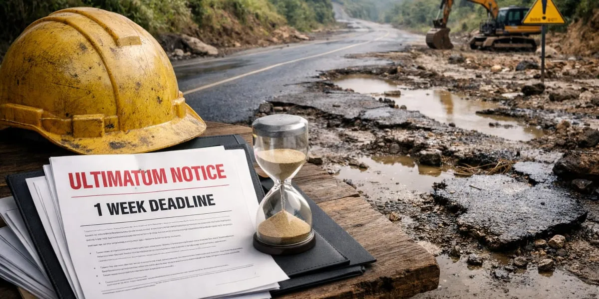
Longleng CSOs Give One Week Ultimatum Over Two-Lane Highway
Civil society organisations (CSOs) in Longleng district have demanded immediate restoration of the deteriorating Changtongya–Longleng two-lane road and sought a detailed status report on the stalled construction within one week. The demand followed a consultative meeting convened under the Phom Peoples' Council (PPC) to discuss welfare and development concerns. PPC president YB Angam Phom said prolonged non-maintenance had caused hardship to commuters and affected transportation, local commerce and the district's development. The meeting urged authorities to undertake immediate restoration a..
Latest Updates