+
Matrix Geo Wins Rs 30.7 mn Drone Monitoring Contract
ECONOMY & POLICY

Matrix Geo Wins Rs 30.7 mn Drone Monitoring Contract

Matrix Geo Solutions has been awarded a contract worth Rs 30.7 million (mn) by North Western Railway to provide drone-based monitoring for the Luni Samdari Bhildi railway doubling project, covering a 271.97 km corridor across Rajasthan and Gujarat, with execution scheduled over 30 months. The mandate was announced in the past week and is intended to support systematic progress tracking across the long linear alignment. The contract was presented as part of routine procurement for construction oversight.

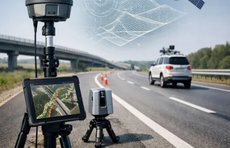
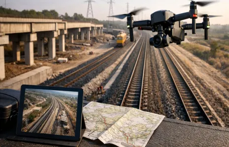
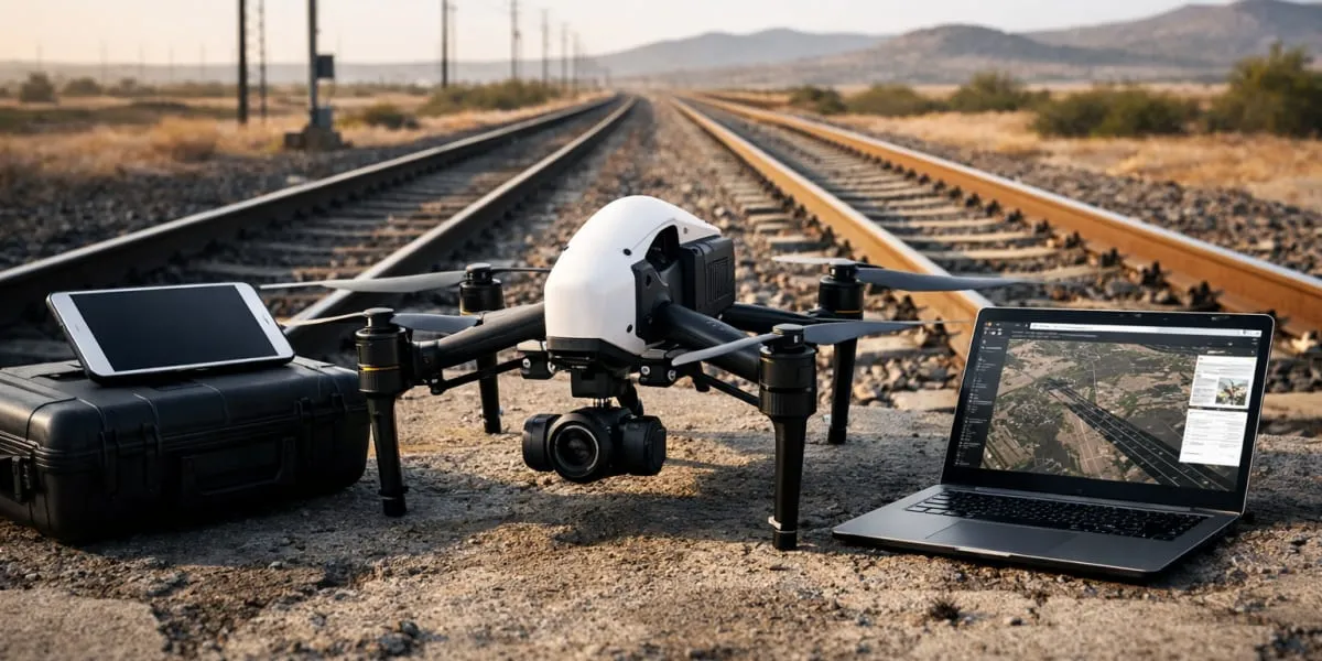
Under the agreement the company will deploy unmanned aerial vehicle (UAV)-based systems to track construction progress across the alignment and conduct monthly aerial surveys using drones equipped with high-resolution geo-tagged video and GPS integrated metadata. The data will be processed to produce detailed maps and change detection reports that cover stages such as earthwork, ballast laying, track installation and bridge construction. The monitoring programme aims to create a continuous and structured audit trail of site activity that can be analysed over time.

Officials indicated that the drone-led monitoring approach is expected to reduce the need for frequent physical site inspections by nearly 50 per cent and shorten reporting timelines by approximately 25 per cent while offering near real-time visibility into construction progress. The system is designed to support faster decision-making, improve coordination among executing agencies and provide verifiable evidence of milestone completion for management and compliance purposes.

The deployment forms part of a wider shift towards integrating geospatial technologies into large infrastructure projects where continuous monitoring and data-driven oversight are increasingly critical. Track doubling initiatives require coordinated execution across multiple segments and remote monitoring tools help identify execution gaps, ease congestion on routes and support capacity enhancement for freight and passenger movement. The use of UAV-based systems is likely to reinforce transparency and standardised documentation for future projects.

Matrix Geo Solutions has been awarded a contract worth Rs 30.7 million (mn) by North Western Railway to provide drone-based monitoring for the Luni Samdari Bhildi railway doubling project, covering a 271.97 km corridor across Rajasthan and Gujarat, with execution scheduled over 30 months. The mandate was announced in the past week and is intended to support systematic progress tracking across the long linear alignment. The contract was presented as part of routine procurement for construction oversight. Under the agreement the company will deploy unmanned aerial vehicle (UAV)-based systems to track construction progress across the alignment and conduct monthly aerial surveys using drones equipped with high-resolution geo-tagged video and GPS integrated metadata. The data will be processed to produce detailed maps and change detection reports that cover stages such as earthwork, ballast laying, track installation and bridge construction. The monitoring programme aims to create a continuous and structured audit trail of site activity that can be analysed over time. Officials indicated that the drone-led monitoring approach is expected to reduce the need for frequent physical site inspections by nearly 50 per cent and shorten reporting timelines by approximately 25 per cent while offering near real-time visibility into construction progress. The system is designed to support faster decision-making, improve coordination among executing agencies and provide verifiable evidence of milestone completion for management and compliance purposes. The deployment forms part of a wider shift towards integrating geospatial technologies into large infrastructure projects where continuous monitoring and data-driven oversight are increasingly critical. Track doubling initiatives require coordinated execution across multiple segments and remote monitoring tools help identify execution gaps, ease congestion on routes and support capacity enhancement for freight and passenger movement. The use of UAV-based systems is likely to reinforce transparency and standardised documentation for future projects.

Related Stories

Gold Stories

Next Story
Infrastructure Urban

KONE Opens India's First Digital Experience Centre in Pune

KONE, a global elevator and escalator manufacturer, has inaugurated its first Digital Experience Centre (DEC) in India, located in Pune. The facility aims to showcase how artificial intelligence (AI), connectivity and data-driven technologies can enhance customer experiences and improve building operations.The centre was inaugurated by Jussi Herlin, Executive Vice Chair, KONE Corporation; Philippe Delorme, President and CEO, KONE; and Nandan Nilekani, Co-founder and Chairman of the Board, Infosys.Designed as an interactive customer environment, the facility demonstrates digital solutions cover..

Next Story
Infrastructure Urban

CII GreenCo Launches Circularity Guidelines for Indian Industry

The Confederation of Indian Industry (CII) GreenCo Council has launched the CII GreenCo Circularity Guidelines – Pilot Version at the 17th CII GreenCo Waste & Resource Management Summit 2026 in Chennai. The initiative aims to strengthen resource efficiency, waste reduction and circular economy practices across Indian manufacturing and process industries.The guidelines introduce a structured framework with circularity indices covering raw materials, consumables, packaging and other resource inputs. These indicators will help industries assess existing practices, identify opportunities to ..

Next Story
Infrastructure Energy

Global Electronics Association Launches IPC-1783-CO2E Standard

The Global Electronics Association has introduced IPC-1783-CO2E, a new international standard aimed at improving consistency, transparency and comparability in product carbon footprint reporting across the electronics manufacturing industry.The standard, titled International Standard for Data Collection and Reporting of CO2 Equivalent (CO2e) Emissions for the Electronics Manufacturing Supply Chain, provides industry-specific guidance for collecting, estimating and reporting carbon emissions data.With increasing regulatory requirements and customer expectations, electronics manufacturers face c..

Advertisement

Subscribe to Our Newsletter

Get daily newsletters around different themes from Construction world.

STAY CONNECTED

Advertisement

SPECIAL OFFER
QR Code