India Expands Doppler Weather Radar Network To Boost Forecasting
ECONOMY & POLICY

India Expands Doppler Weather Radar Network To Boost Forecasting

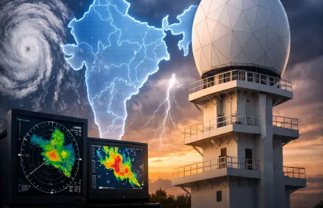
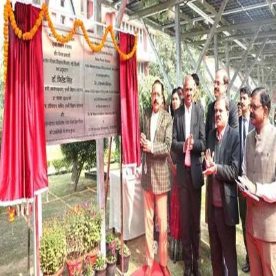
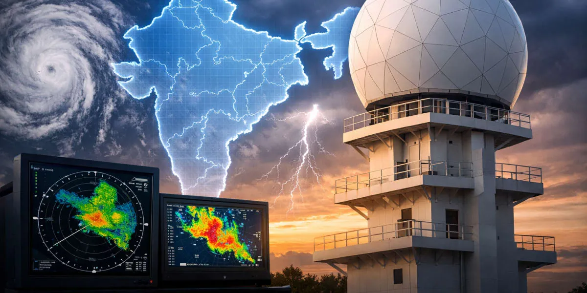
India has expanded its Doppler Weather Radar (DWR) network since 2014, rising from 14 operational units to 50, an over 250 per cent increase. The additions now cover over 87 per cent of the country and are set to improve forecasting for cyclones, heavy rain and thunderstorms, with 50 more DWRs planned under Mission Mausam. A Selfie Point depicting a weather radar was inaugurated at the India Meteorological Department (IMD) headquarters in New Delhi.

Senior officials from the Ministry of Earth Sciences and IMD attended the event. The minister attributed the transformation to government priority and leadership, saying it has delivered greater accuracy, accessibility and public trust in forecasts. He noted that forecasts are now routinely consulted by farmers, pilots and event planners.

He outlined Nowcast services that provide highly localised and accurate forecasts for the next three hours. These services supply detailed inputs on rainfall intensity, type of precipitation, the possibility of hailstorms and even the size of raindrops. Real-time information was presented as crucial for disaster preparedness and urban planning.

He described how DWR technology uses the Doppler effect to track movement and velocity of weather systems and explained that modern radars deployed by IMD are equipped with dual-polarisation capability. This allows better distinction of precipitation types, improved rainfall estimation and reduced false signals. The network supports continuous atmospheric monitoring and early warnings for cyclones, thunderstorms and heavy rainfall.

The minister highlighted benefits for aviation safety, agricultural planning and disaster risk reduction and noted that enhanced forecasting is aiding neighbouring countries through cooperation. He referred to installations in vulnerable regions such as Jammu and Kashmir and said initiatives like the Selfie Point aim to raise public awareness and encourage use of IMD services via mobile applications, SMS alerts and social media. Officials added that these measures will help bridge the gap between scientific advancement and public engagement.

India has expanded its Doppler Weather Radar (DWR) network since 2014, rising from 14 operational units to 50, an over 250 per cent increase. The additions now cover over 87 per cent of the country and are set to improve forecasting for cyclones, heavy rain and thunderstorms, with 50 more DWRs planned under Mission Mausam. A Selfie Point depicting a weather radar was inaugurated at the India Meteorological Department (IMD) headquarters in New Delhi. Senior officials from the Ministry of Earth Sciences and IMD attended the event. The minister attributed the transformation to government priority and leadership, saying it has delivered greater accuracy, accessibility and public trust in forecasts. He noted that forecasts are now routinely consulted by farmers, pilots and event planners. He outlined Nowcast services that provide highly localised and accurate forecasts for the next three hours. These services supply detailed inputs on rainfall intensity, type of precipitation, the possibility of hailstorms and even the size of raindrops. Real-time information was presented as crucial for disaster preparedness and urban planning. He described how DWR technology uses the Doppler effect to track movement and velocity of weather systems and explained that modern radars deployed by IMD are equipped with dual-polarisation capability. This allows better distinction of precipitation types, improved rainfall estimation and reduced false signals. The network supports continuous atmospheric monitoring and early warnings for cyclones, thunderstorms and heavy rainfall. The minister highlighted benefits for aviation safety, agricultural planning and disaster risk reduction and noted that enhanced forecasting is aiding neighbouring countries through cooperation. He referred to installations in vulnerable regions such as Jammu and Kashmir and said initiatives like the Selfie Point aim to raise public awareness and encourage use of IMD services via mobile applications, SMS alerts and social media. Officials added that these measures will help bridge the gap between scientific advancement and public engagement.

Next Story
Infrastructure Transport

MMRDA Removes 1.14 lakh m of Metro Barricades

In a bid to ease congestion and improve urban mobility during monsoon, MMRDA has undertaken one of the largest coordinated barricade removal and monsoon preparedness drives across its ongoing metro and infrastructure projects.With substantial progress achieved in viaduct and structural works across multiple metro corridors, barricades from completed stretches beneath metro viaducts are being systematically removed, restoring maximum possible road space before the monsoon. Wider carriageways across key arterial roads are expected to improve traffic flow, reduce congestion, support better rainwa..

Next Story
Infrastructure Transport

Pune Division to Remove All Diamond Crossings by Year-End

The Pune railway division has announced plans to remove all 16 diamond crossings by the end of 2026 as part of a major yard remodelling project following the derailment of a Vande Bharat Express at Pune Junction on April 27. Railway authorities said the replacements aim to improve safety and streamline train operations across the busy station. The decision followed a Central Railway finding that the accident involved a non-standard diamond crossing and highlighted the need for replacement. Regular maintenance of existing crossings will continue until the replacement work is completed. Official..

Next Story
Infrastructure Urban

Goa Declares 80 Million Square Metres No Development Zone

The Goa state government has declared 80 million square metres (mn) of land a no development zone, designating the area as protected from new construction. The notification reclassifies tracts across the state under a no development category for planning and regulatory purposes. The declaration signals a formal halt to new building permits within the defined zone. Authorities indicated that maps will be issued to show broad boundaries while detailed surveys will refine precise limits. The move transfers responsibility for enforcement to local planning authorities and relevant departments, whic..

Advertisement

Subscribe to Our Newsletter

Get daily newsletters around different themes from Construction world.

STAY CONNECTED

Advertisement

Advertisement

Advertisement